Members and Supporters, the MountainViews Committee requests your help to meet the costs of the website and of other activities such as insured events or publications.
Feature count in area: 44, by county: Tipperary: 36, Limerick: 8,
OSI/LPS Maps: 52, 53, 54, 58, 59, 60, 65, 66
Highest Place: Keeper Hill 691.6m
Starting Places (31) in area Midlands SW: Ballincurra Hill South, Ballyhourigan Wood Loop Walk, Barnane Lodge, Castlewaller Wood Forest Road, Coillte Knockanroe, Commanealine Wood, Commaun Beg North, Cullaun South, Cummer South, Curreeny Wood, Doonane Forest Carpark, Foildhine Mulkeir Rivers, Glenaneagh Park, Glenstal Wood CP, Gortagarry Hill West, Greenan Cross, Knockadigeen Hill SW, Knockanora East, Knockanully, Knockaviltoge East, Knockfune Wood Bend, Knockmaroe Wood, Knockmehill South, Knockteige SW, Nicker, Raven's Rock, Ring Hill West, River Doonane, The Lookout, Tobernagreana, Upperchurch
Summits & other features in area Midlands SW: Cen: Mauherslieve: Cummer 405m, Foilduff 400m, Knockmaroe 411m, Mauherslieve 543m E: Upperchurch Hills: Knockalough 427m, Knockaviltoge 364m N: Knockshigowna: Knockshigowna 212m NE: Devilsbit: Benduff 455m, Black Hill 228m, Devilsbit Mountain 480m, Gortagarry 458m, Kilduff Mountain 445m, Knockanora 433m NE: Templederry: Ballincurra Hill 403m, Commaun Beg 403m, Cooneen Hill 467m, Coumsallahaun 320m, Knockadigeen Hill 402m NW: Arra Mountains: Corbally Hill 339m, Tountinna 457m NW: Silvermine Mountains: Silvermine Mountains East Top 479m, Silvermine Mountains Far East Top 410m, Silvermine Mountains West Top 489m SE: Hollyford Hills: Falleennafinoga 388m, Foildarg 440m, Glenaneagh 420m, Gortnageragh 418m, Knockastanna 444m, Knockbane 433m, Lackenacreena 413m, Ring Hill 426m, Tooreen 457m SW: Slieve Felim: Cullaun 460m, Derk Hill 236m, Knockroe 204m, Knockseefin 235m, Slieve Felim 427m, Slieve Felim East Top 423m, Slieve Felim South Top 407m W: Keeper Hill: Bleanbeg 368m, Boolatin Top 446.6m, Keeper Hill 691.6m, Knockane 411m, Knockfune 452m
Note: this list of places may include island features such as summits, but not
islands as such.
Corbally Hill, 339mHill
Place Rating ..
, Tipperary County in Munster province, in Binnion Lists, Corbally Hill is the 1077th highest place in Ireland.
Grid Reference R76204 78277,
OS 1:50k mapsheet 59 Place visited by: 19members, recently by: Krzysztof_K, sarahryanowen, maryblewitt, garrettd, JohnRea, Peter Walker, MichaelG55, LorraineG60, finkey86, FrankMc1964, wicklore, sandman, chalky, frankmc04, paddyhillsbagger
I visited this place: NO (You need to be a logged-in member for this.)
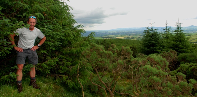
Climbed today 27/6/2014. After the arduous drive up Tountinna with its fabulous views over Lough Derg. I turned my attention to one of the smaller hills hereabouts and on the way to find a suitable route up I was stopped by a nice lady in a jeep, who asked me to pull over to the side of the very narrow road I was driving on as a small herd of calves was trundling its way towards us. I enquired about access to the hill, she told me that there was no problem and that I could walk up through her field to access the summit. I parked at A (R75653 77831) at a Coillte barrier the entrance to a dead or dying forest. I walked east along a narrow road for about 50mts and climbed a gate into a rough field and headed uphill keeping the forest on my immediate left, before reaching the very left hand corner of the field I entered the forest on the left and easily made my way up through the dying trees to the obvious high point of this hill. Not great views from here, Keeper Hill can be seen to the east and Tountinna to the South. Time taken from car to car with a 16yr old teenage daughter in tow 40mins and a distance of approx 2km. Linkback: mountainviews.ie/summit/1102/comment/17517/
Use of MountainViews is governed by conditions and a privacy policy.
Read general information about the site. Opinions in material here are not necessarily endorsed by MountainViews.
Hillwalking is a risk sport. Information in comments, walks, shared GPS tracks or about starting places may
not be accurate for example as regards safety or access permission. You are responsible for your safety and your permission to walk.
See the credits and list definitions.


 Our Facebook page.