This website uses cookies, which are small text files that the website puts on your device to facilitate operation. Cookies help us provide a better service to you. They are used to track general user traffic information and to help the website function properly.
Colin Murphy: Track/5077 in area near An Bhinn Bh√°n, Bluestack Mountains (Ireland)
Good, relatively easy double bag
Ascent: 317m,
Length: 3.9km,
Creator time taken: 2h14m
Descent: 332m,
Time predicted from Naismith's rule: 1h 19m + breaks
Click here to rate track
PlacesStart at G84458 86194, Binbane, Binbane NE Top, end at Start
Track Rating ..
[RWD version 1 ]
Binbane and its sister hill Binbane NE are relatively easy summits to bag in a single walk and could also be combined with Cloghmeen Hill, which is about 1.25km away. Unfortunately as I was so tired after bagging Crocknasharragh earlier that day, I had to put off the third top until another day. The starting point was in a forest, where there is parking for multiple cars. Incidentally, about 50m before I reached this point, I encountered a closed gate on the road. Luckily it was just tied closed with string, so I assumed it was ok to drive through and close it afterwards. From the car, the summit is just 1.2km away as the crow flies.
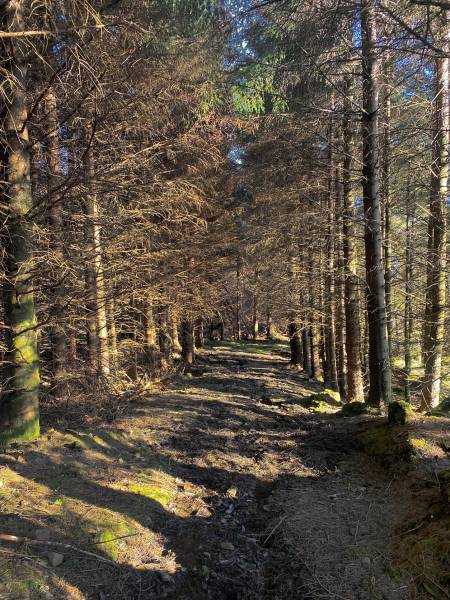
The first section through the woods.
Follow the meandering forest trail to the NW, which will take you to the edge of the wood. A fence runs up the slope towards the top. Cross this and continue NW up the steepening hill.
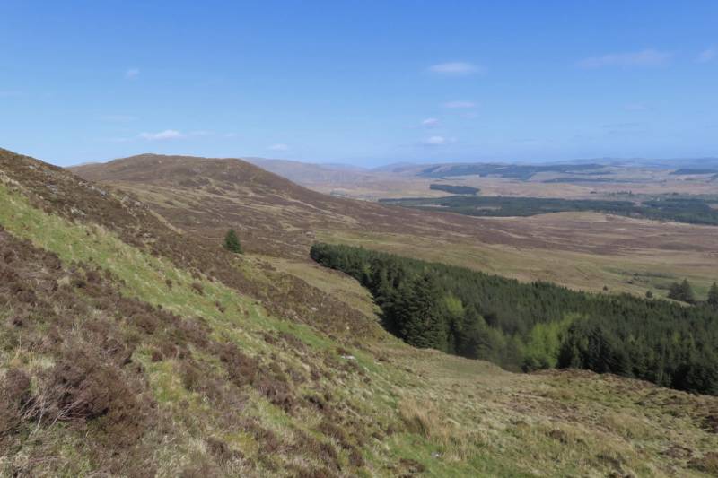
The view to the west from the slope.
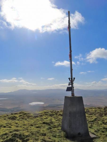
The terrain is mostly grass and a few rocks and generally firm underfoot. Near the top, it changes to dense, tussocky grass, although this presents no real obstacle. The summit area is quite well defined and marked by a trig with a pole (and apparently a small solar panel, for reasons I couldn’t quite fathom.) Extensive views in all directions.
Summit trig
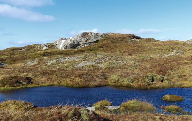
From there the NE top is a mere 600m away. Drop down to 400m elevation at the col, where it is a bit squishy in parts, before making the easy ascent of just 40m to the highpoint, passing a couple of pools.
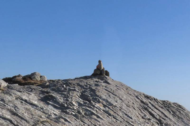
Rocky outcrop markes the NE highpoint
The summit is a rocky outcrop with a small pile of stones on top. Return via the col and pick up the trail as you ascended. A rewarding little duo of hills with fine views.
The NE summit.
Editing Details for track/5077
NOTE: ALL information such as Ascent, Length and Creator time taken etc should be regarded as approximate. The creator's comments are opinions and may not be accurate or still correct.
Your time to complete will depend on the speed of the slowest plus break time and your mode of transport.
NOTE: It is up to you to ensure that your route is appropriate for you and your party to follow bearing in mind all factors such as safety, weather conditions, experience and access permission.
Uploaded on: Mon, 29 Apr 2024 (10:48:55), Linkback: https://mountainviews.ie/track/5077/
* Note: A GPS Height in the elevation profile is sourced from the device that recorded the track. An "SRTM" height is derived from a model of elevations for parts of the earth. More detail
Use of MountainViews is governed by conditions and a privacy policy.
Read general information about the site. Opinions in material here are not necessarily endorsed by MountainViews.
Hillwalking is a risk sport. Information in comments, walks, shared GPS tracks or about starting places may
not be accurate for example as regards safety or access permission. You are responsible for your safety and your permission to walk.
See the credits and list definitions.


 Our Facebook page.