This website uses cookies, which are small text files that the website puts on your device to facilitate operation. Cookies help us provide a better service to you. They are used to track general user traffic information and to help the website function properly.
GSheehy: Track/3395 in area near Tonelagee, Dublin/Wicklow (Ireland)
Hagless in Wicklow
Ascent: 1482m,
Length: 28.6km,
Creator time taken: 5h33m
Descent: 1281m,
Time predicted from Naismith's rule: 8h 11m + breaks
Click here to rate track
PlacesStart at Turlough Hill CP (TurL Hl) O07624 00173, Tonelagee, Scarr North-West Top, Scarr, Camaderry East Top, Camaderry Mountain, end at T07077 98814, 1.5km SW from Start
Track Rating ..
[RWD version 1 ]
Sunday morning brought freezing fog and minus 4 degree temperatures on the 130km drive to Baltinglass for an 8am rendezvous with Hannukkah. Challenge season is only around the corner so it’s time for the serious training to begin.These trips to Hannukkah’s back yard are about seeing if you can stay with him and how far he can pull away from you on the climbs. It’s an area I don’t walk in that much so I wouldn’t be familiar with what level of effort is required at the different stages of the route that my co-walker has selected as I’m just following for the day. So, a good test.
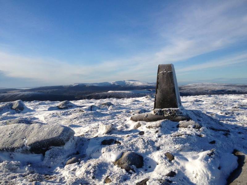
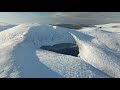
Towards Lugnaquilla from Tonelagee
A bit nippy when we parked at the Wicklow Gap. Gloves and hat weather but the ground was frozen and the sun was out. Coming off Tonelagee, to the North of Lough Ouler, the hat and gloves can go back in the bag and stay there for the day. Plenty heat from the pace.We had to head a bit upstream to cross Glenmacnass River as there was a good flow in it. Shiny frosty stones wouldn’t give you too much confidence on extending your step or using one of them to catapult that little jump.
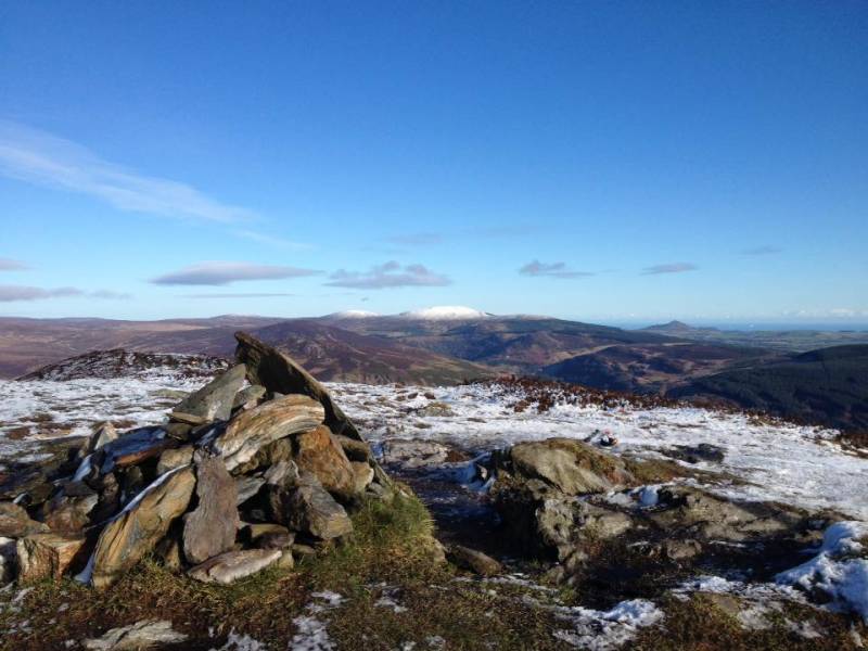
Djouce & Sugarloaf from Scarr
Coming off Scarr we meet a good few walkers and a group out doing the Mountain Skills course. A food stop at Laragh East. Best to get it in to you on the way down so that it’s partially digested for the 5km pull up to Camaderry and the 550m climb that it entails.
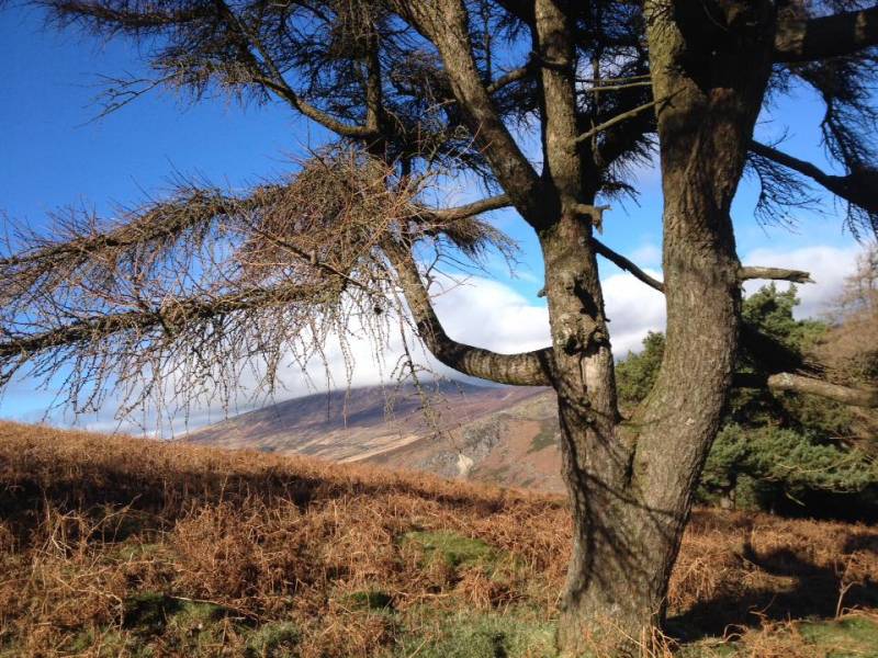
Tonelagee through the tree as you're heading up Camaderry
A brief encounter with a walking group having their lunch at 650m, two lads with their leashed Akita’s and about 25 scouts and their leaders by the time we get to the summit. Lots of company on the mountains now.
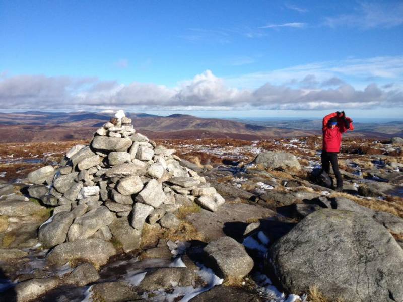
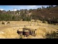
Camaderry Summit
This is a good training track that Andy planned. Good ground. Okay there are a few peat hags around Sevenchurches (627m), but nothing to write home about. A warm up at the start, lose the gain plus a bit more on the descent, 250m+ up Scarr, gradually lose it all again (plus more) and then the hard bit 18km in.
Editing Details for track/3395
NOTE: ALL information such as Ascent, Length and Creator time taken etc should be regarded as approximate. The creator's comments are opinions and may not be accurate or still correct.
Your time to complete will depend on the speed of the slowest plus break time and your mode of transport.
NOTE: It is up to you to ensure that your route is appropriate for you and your party to follow bearing in mind all factors such as safety, weather conditions, experience and access permission.
Uploaded on: Mon, 6 Feb 2017 (13:00:12), Linkback: https://mountainviews.ie/track/3395/
* Note: A GPS Height in the elevation profile is sourced from the device that recorded the track. An "SRTM" height is derived from a model of elevations for parts of the earth. More detail
Use of MountainViews is governed by conditions and a privacy policy.
Read general information about the site. Opinions in material here are not necessarily endorsed by MountainViews.
Hillwalking is a risk sport. Information in comments, walks, shared GPS tracks or about starting places may
not be accurate for example as regards safety or access permission. You are responsible for your safety and your permission to walk.
See the credits and list definitions.


 Our Facebook page.