This website uses cookies, which are small text files that the website puts on your device to facilitate operation. Cookies help us provide a better service to you. They are used to track general user traffic information and to help the website function properly.
Summits & other features in area North East Midlands: Cen: Ballyjamesduff: Aghalion Hill 249m Cen: Oldcastle: Mullaghmeen 258m, Slieve Na Calliagh 276m, Spire of Lloyd 131m, The Hill of Mael 241m E: Kingscourt: Carrickleck Hill 173m N Cen: Cavan Town: Shantemon 218m, Slieve Glah 320m, Tievenanass 261m NE: Ballybay: Bunnanimma 268m NE: Carrickmacross: Corduff 243m NE: Castleblaney: Mullyash Mountain 317m NE: Cen Bailieborough: Cornasaus 339m, Taghart South 290m NW Cen: Arva: Bruse Hill 260m NW: Aughavas: Lugganammer 190m S Cen: Crookedwood: Cruckboeltane 199m, Knockeyon 214m S: Westmeath South West: Knockastia 200m SE: Boyne Valley: Hill of Slane 160.4m, Mount Oriel 251m, Tara 155m W: Ardagh: Bawn Mountain 200m W: Drumlish: Corn Hill 278m
Note: this list of places may include island features such as summits, but not
islands as such.
Tievenanass, 261mHill
Place Rating ..
, Cavan County in Ulster province, in Binnion Lists, Tievenanass is the 1258th highest place in Ireland.
Grid Reference H58258 04878,
OS 1:50k mapsheet 35 Place visited by: 25members, recently by: MickM45, trostanite, abcd, Jai-mckinney, Oscar-mckinney, Carolyn105, Harry Goodman, melohara, TommyMc, wicklore, conormcbandon, eamonoc, jackill, IndyMan, Peter Walker
I visited this place: NO (You need to be a logged-in member for this.)
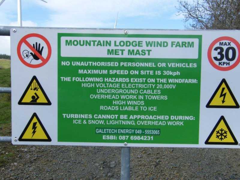
The area around Tievenanass is well populated with wind turbines. Parked at the entrance to the supply road for the the turbines at A (H58688 05021) and had a five minute stroll to the summit, which is dominated by a large water reservoir. Linkback: mountainviews.ie/summit/1200/comment/15794/
Use of MountainViews is governed by conditions and a privacy policy.
Read general information about the site. Opinions in material here are not necessarily endorsed by MountainViews.
Hillwalking is a risk sport. Information in comments, walks, shared GPS tracks or about starting places may
not be accurate for example as regards safety or access permission. You are responsible for your safety and your permission to walk.
See the credits and list definitions.


 Our Facebook page.