[RWD version 1 ]
Parking available at Lower Falls car park at NN1452 6834. The route may be walked clockwise or anticlockwise but going anticlockwise gives the option of omitting Sgúrr a'Mháim. The descent of Sgúrr a'Mháim at the end of the day can be character building but ascending it from Glen Nevis, while tackling the route in a clockwise direction, is probably more of a challenge.
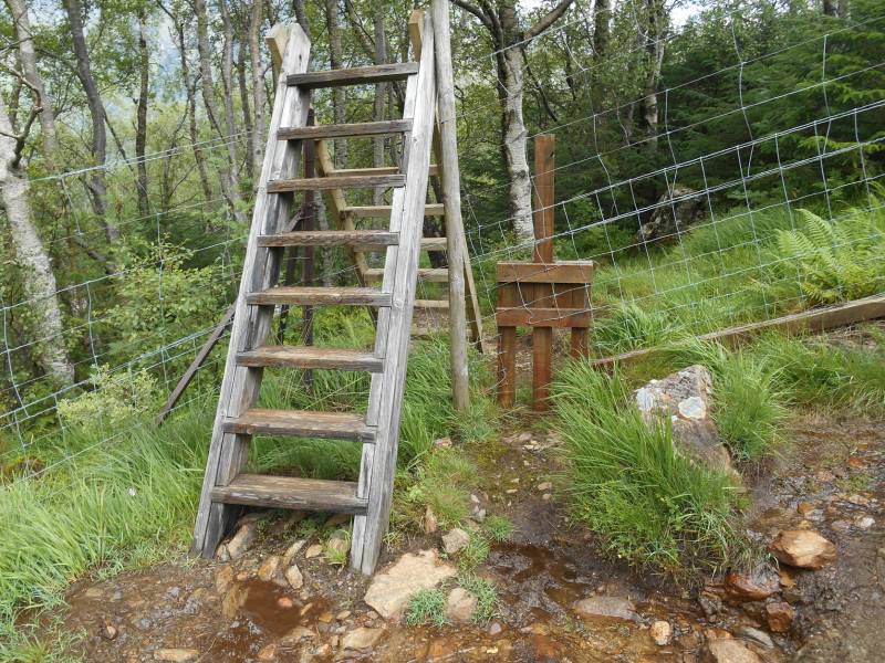
Leaving the car park, walk back along the road to Fort William for 275 m, crossing a bridge, to the entrance to a forest track on the left at NN1426 6839. Follow the well signposted track through the forest to emerge at NN1326 6813 where a stile, with a dog gate beside it, helps hikers and their dogs negotiate a deer fence and access the open hillside.
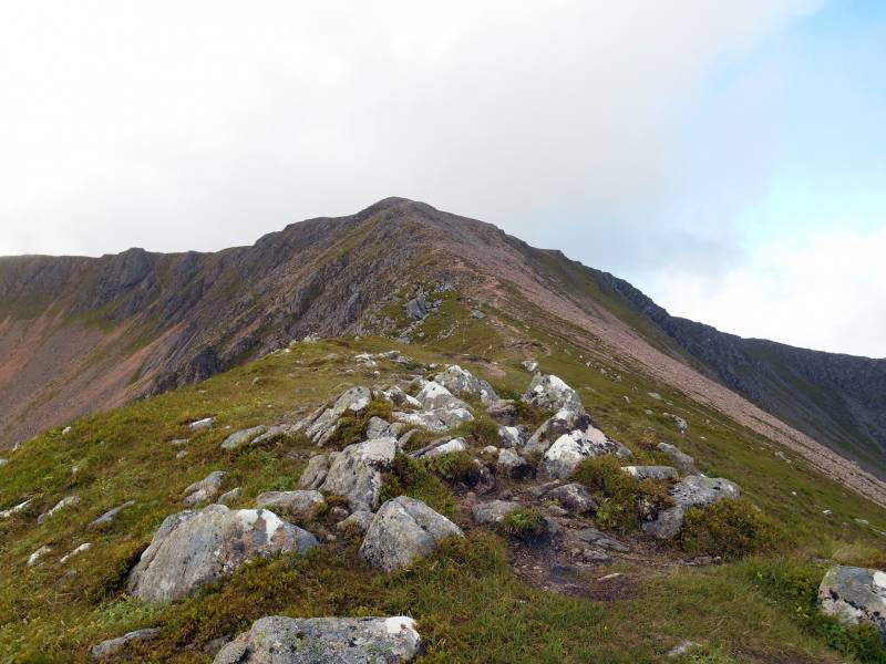
Stile over deer fence with dog gate - lifting the centreboard allows dog throughThere is a steep, rough and at times, eroded and muddy path along the edge of the forest which leads onto a path along the ridge between Coire Riabhach and Coire Dearg.
Ascent ridge between Coire Dearg and Coire Riabhach.
After ascending the ridge, a walk around the corrie rim will bring you to the large cairn marking the summit of Mullach nan Coirean, at NN1224 6623, 939m, the lowest of the Mamores.
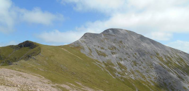
Meall a’Chaorainn can then be visited by walking around the rim of Coire a’Mhuilinn. Stob Bán is approached by walking around the ridge above Coire Dearg, visiting Mullach nan Coirean’s two cairned tops at NN1313 6546, 918m and NN1373 6559, 917m.
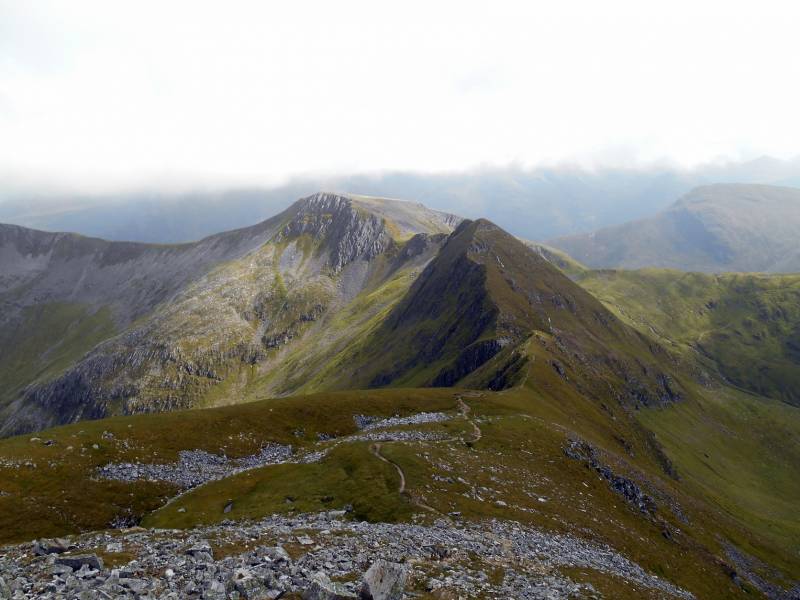
Approaching Stob Bán, 999m.
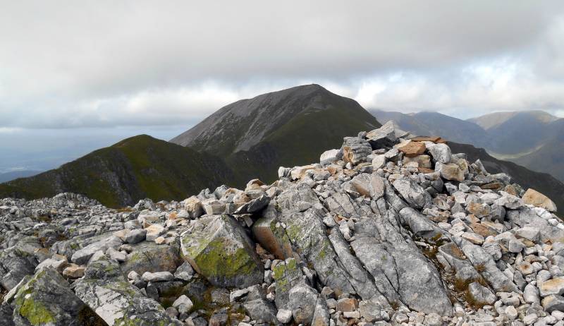
After visiting Stob Bán there is the option of omitting Sgúrr a'Mháim by descending to the col at the top of Coire Mhusgain and using a rough path on the east side of Allt Coire a’Mhusgain to reach the start point, Lower Falls car park.
The other option is to visit Sgúrr an Iubhair, NN1652 6550, 1001m, and then approach Sgúrr a’Mháim via the Devil’s Ridge.
Summit Cairn of Sgúrr an Iubhair with Devils Ridge and Sgúrr a’Mháim.
Sgúrr an Iubhair was a Munro until the 1997 revision of Munro’s Tables. It is now considered to be one of Sgúrr a’ Mháím’s two tops. The other, Stob Choire a’Mháil, 990m, is located on the Devil’s Ridge at NN1633 6599.
The Devil’s Ridge is not too difficult on dry, calm days. It would be more challenging on a very wet or windy day or in snow or ice.
Looking back to the Devil’s Ridge, Stob Choire a’Mháil and Sgúrr an Iubhair.The ascent of Sgúrr a Mháim from the Devil’s Ridge is not too taxing but the descent along its northwest ridge to the start point requires patience.
Harvey's SUPERWAKER XT25 map, Ben Nevis, Mamores and Grey Corries, ISBN 978-185137402-1 recommended for this route. Scale is 1:25,000 and the map is really tough, durable, light and totally waterproof.


 Our Facebook page.