This website uses cookies, which are small text files that the website puts on your device to facilitate operation. Cookies help us provide a better service to you. They are used to track general user traffic information and to help the website function properly.
Colin Murphy: Track/5078 in area near Crocknapeast, Donegal SW (Ireland)
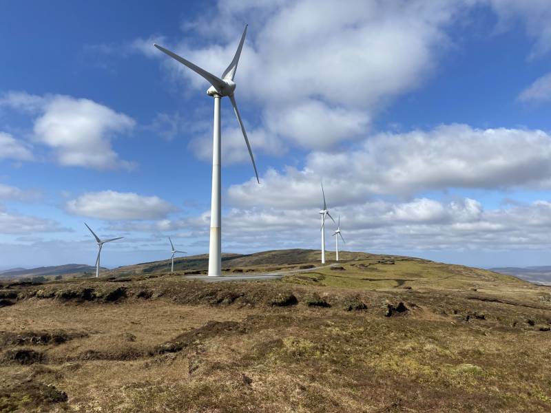
Double bag mostly on windfarm tracks.
Ascent: 569m,
Length: 13.8km,
Creator time taken: 4h41m
Descent: 571m,
Time predicted from Naismith's rule: 3h 43m + breaks
Click here to rate track
PlacesStart at G70134 81134, Crocknapeast, Mulnanaff, end at Start
Track Rating ..
[RWD version 1 ]
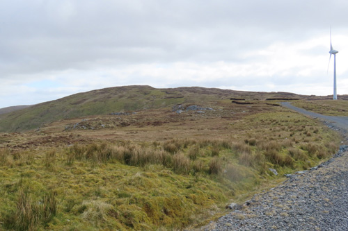
I had hoped to make this a 3-bagged-tops outing but unfortunately I couldn’t find a way up Croaghacullin that didn’t involve waist-high heather or chest-high reeds on very uneven ground, so I abandoned that part of the plan, with the future intention of making an approach from a track to the SW. So ignore the part of the track where I swung to the SW for 1km. There is parking for about 3 cars at the start point, which is a gate to a windfarm/forest road. Cross this and turn right at the T-junction, simply following the (rather boring) gravel road as it rises to the north for about 3km. As you climb the views improve greatly to the south, with Croaghanard rising above a broad valley and the ocean beyond Killybegs. When the road swings sharply east, next to a wind turbine, you have the choice of bagging Mulnanaff or continuing on and ascending Crocknapeast to the NE.
Crocknapeast (centre) from the windfarm road
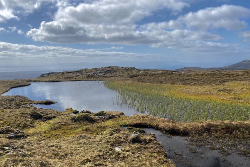
I chose the latter, following the road until it swung south (the second last windmill) where I veered NE across the open hillside, passing a few boggy areas and small pools.
A few pools dot the approach.
The summit from the road is just 800m and there’s a climb of just 60m, but the ground is rough and boggy in parts, but generally not too bad. The top is marked by a sizeable cairn with good views all round.
The view looking south.
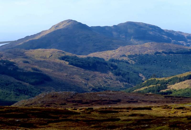
I returned along the road to the bend, then dropped down about 10m on to the NW side of Mulnanaff. From there the highpoint is just 700m away with a climb of a mere 40m.
Mulnanaff is the seen centre of image.
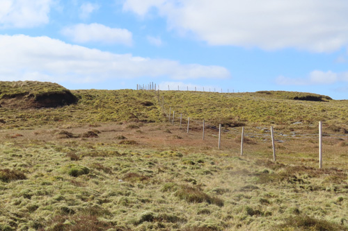
You will see a fence curving up onto the hillside. Basically if you follow this it will take you all the way to the top, which is a heathery/grassy mound on the western side of the fence, with a couple of stones on the top.
The fence leading to the top.
A long walk, over 12km, but two more Carns in the bag.
Editing Details for track/5078
NOTE: ALL information such as Ascent, Length and Creator time taken etc should be regarded as approximate. The creator's comments are opinions and may not be accurate or still correct.
Your time to complete will depend on the speed of the slowest plus break time and your mode of transport.
NOTE: It is up to you to ensure that your route is appropriate for you and your party to follow bearing in mind all factors such as safety, weather conditions, experience and access permission.
Uploaded on: Mon, 29 Apr 2024 (11:36:08), Linkback: https://mountainviews.ie/track/5078/
* Note: A GPS Height in the elevation profile is sourced from the device that recorded the track. An "SRTM" height is derived from a model of elevations for parts of the earth. More detail
Use of MountainViews is governed by conditions and a privacy policy.
Read general information about the site. Opinions in material here are not necessarily endorsed by MountainViews.
Hillwalking is a risk sport. Information in comments, walks, shared GPS tracks or about starting places may
not be accurate for example as regards safety or access permission. You are responsible for your safety and your permission to walk.
See the credits and list definitions.


 Our Facebook page.