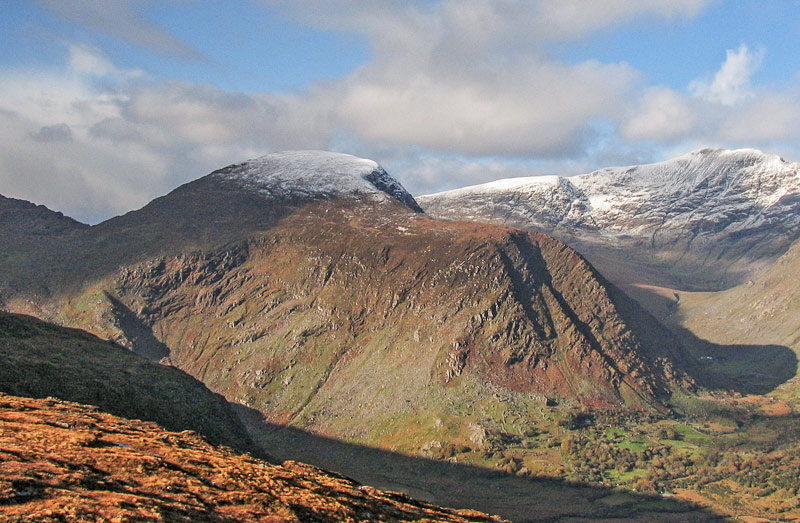
Most surprised to read of David Herman's comment, I really like this mountain. For starters it is pleasing on the eye, it rears above both the Black Valley and Bridia Valley and stands out from its larger neighhbours, while those around it of a similar height like Brassel, Knocknabreda and Curraghmore seem content to hide amongst the Reeks and Iveragh Mountains.
Parked car at
H (V8175 8218) where road twists around a shed. There is parking for 4 or 5 cars here, and many more spaces a few hundred yards further down the road. Crossed 2 sheep wire fences each with one strand of barb wire, very easy mind, and made way across the Cummeenduff River. Fording was tricky, the water was only ankle/knee height in the dry weather but the rocks all seemed very soapy and had to be careful not to slip. However, the maps show a road to derelict houses further south which road seems to cross the river, so perhaps in bad weather use could be made of that route. From there made my way to point
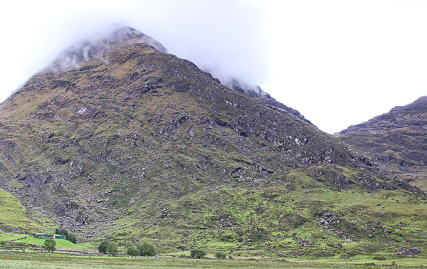
I (V8187 8171) at the foot of a stream/waterfall which clearly scars the broad east/south east rump of the mountain behind the derelict houses.
From there, spent 50 minutes making my way up a very enjoyable scramble to a broad shoulder at
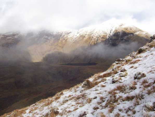
J (V8134 8154) as shown on the right hand side of Simon3's photo. Loved this part of the trek. The stream was dry, but room on both sides for wetter times of the year. Lots of sweat and lots of midges, so don't forget the repellent. Excellent views from that shoulder over the Black Valley, across to Stumpa Duloigh and north to the huge wall of rock above Curraghmore Lake and under Caher and Carrauntoohil.
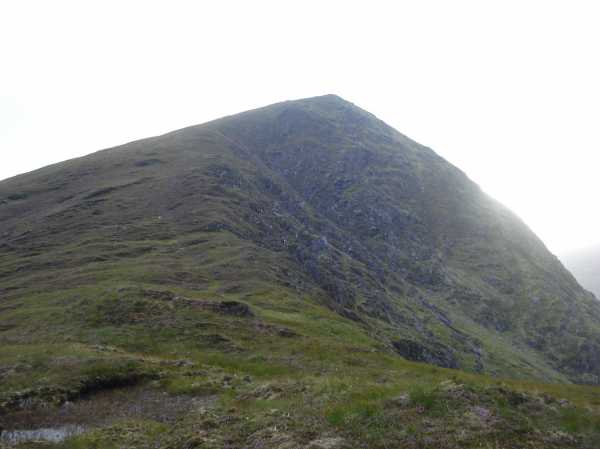
From the shoulder one has a clear view to the apparent summit in the middle of Simon's pic and that is gained by a 15 minute walk across springy turf and heather. However, as is evident from that photo, this is a false summit, there is another good ten minutes of effort required before one makes the top - perhaps it was this false summit that frustrated David Herman. More excellent views, including a vista right down the length of the Bridia Valley and on to Mullaghanattin and the mountains around Glencar and Glenbeigh.
As night was closing in I had to descend at pace. Retraced my steps to the shoulder, but stayed more to the north of it this time and took a ramp from it at
K (V8126 8160) that leads almost due west across the east face of the mountain, descending all the time. From
L (V8097 8176), made a beeline for the car. A few crags to negotiate, but made it down from summit to car in 50 minutes - though was on my own and moving fast. Again, care needed fording the river.
All in all, a real mountain that requires real effort and a fine scramble, but perhaps its prominence means its not the best for summit bagging, and watch out for that river and those midges.
Linkback: mountainviews.ie/summit/80/comment/6034/
Read Less


