If you want to use the website often please enrol (quick and free) at top right.

Moanbane 703m, Silsean 698m, Black Hill 602.2m, Sorrel Hill 599.5m, Lugnagun 446.2m,


 Get Notifications
Teevenacroaghy: A clear day on the Hill
 three5four0
Madeira: From Pico Arieiro to Pico Ruivo
Madeira: Coastal/Cliff walk to the Eastern Edge
Madeira: Descent from Monte to Funchal
Hag's Tooth: This might hurt
 No1Grumbler
Galtymore: Dawn on Galtymore
 DeirdreM
One of Irelnad`s finest routes
Keale Mountain: Hard to access the top
Half Glencoaghan
East Girt Hill: Short trek from West Girt Hill
 Fergalh
Traverse of Lackavrea
 glencree
West Girt Hill: Short trek to summit
 Fergalh
Use of MountainViews is governed by conditions and a privacy policy.
Read general information about the site.
Opinions in material here are not necessarily endorsed by MountainViews.
Hillwalking is a risk sport. Information in comments, walks, shared GPS tracks or about starting places may not be accurate for example as regards safety or access permission. You are responsible for your safety and your permission to walk.
See the credits and list definitions.
 Visit our Facebook page.
 Length: 13.1km, Creator time taken: 3h38m, Ascent: 197m,
Descent: 179m
Places: Start at O0202310049, end at O0217209863 239m SE from Start
Logged as completed by 1

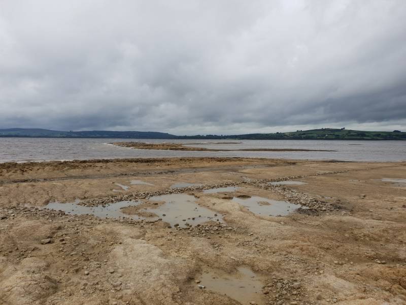
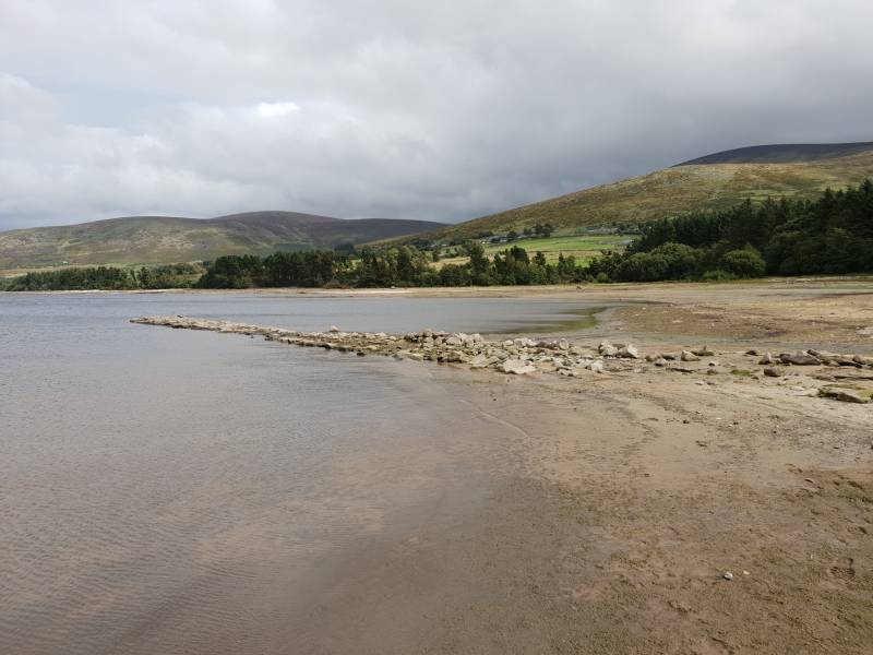
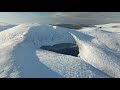
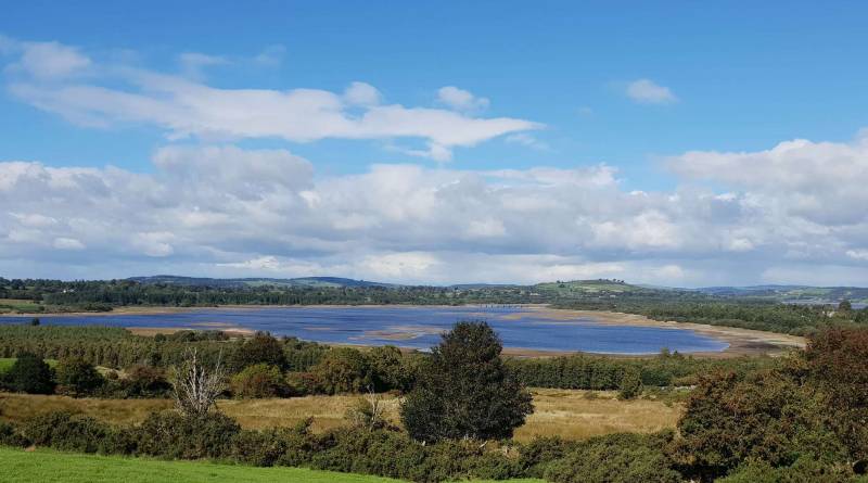
All in all, conditions were a mixture of sandy, boggy and muddy. Encountered some sheep, a beached motor boat and three horses during a mild blustery day.
It was facinating to see all the old walls, the still obvious laneways and trees that were cut down on Red Bog to facilitae the flooding of the valley.
NOTE: ALL information such as Ascent, Length and Creator time taken etc should be regarded as approximate. The creator's comments are opinions and may not be accurate or still correct.
Your time to complete will depend on your speed plus break time and your mode of transport. For walkers: Naismith's rule, an approximate though often inaccurate estimate, suggests a time of 2h 57m + time stopped for breaks
NOTE: It is up to you to ensure that your route is appropriate for you and your party to follow bearing in mind all factors such as safety, weather conditions, experience and access permission.
* Note: A GPS Height in the elevation profile is sourced from the device that recorded the track. An "SRTM" height is derived from a model of elevations for parts of the earth. More detail![]()
|
|
|
||
| MountainViews.ie, a Hill-walking Website for the island of Ireland. 2400 Summiteers, 1480 Contributors, maintainer of lists: Arderins, Vandeleur-Lynams, Highest Hundred, County Highpoints etc | |||