If you want to use the website often please enrol (quick and free) at top right.

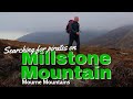
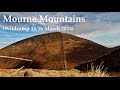
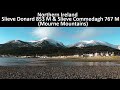
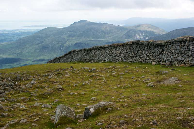
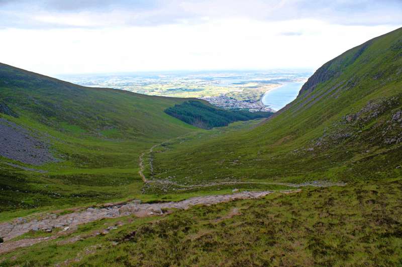
Slieve Donard 849m, Slieve Commedagh 767m, Slievelamagan 702.2m, Chimney Rock Mountain 656m, Cove Mountain 654.8m, Slieve Corragh 641.9m, Slieve Beg 595.9m, Slievenaglogh 584.4m, Slievenaglogh East Top 571m, Crossone 540m,
 Get Notifications
Knocknagullion: Relatively challenging climb with great views.
 Collaborative entry
Tough enough Carn with very fine views
 Colin Murphy
Nowen Hill Far West Top: Previous access issue to this simple stroll seems to ha
 Colin Murphy
Good tracks to two Carns.
 Colin Murphy
Minaun: Towards Keem
 magnumpig
Crott Mountain, near Croagh Patrick, now demo
 simon3
Saggart Hill: Masts and prehistoric tombs
 hibby
hibby
Cupidstown Hill: 5 minutes walk to the top of Kildare
 hibby
hibby
A visit to Tievummera via its South East spur.
 simon3
Tievummera Highpoint: Undistinguished highpoint of spectacular Sheefry scarp.
 Collaborative entry
Croagh Patrick's ridge to the east, visited from the south.
Tievummera Trig: Bump with trig pillar on long scarp with steep slope to the nor
 Collaborative entry
Use of MountainViews is governed by conditions and a privacy policy.
Read general information about the site.
Opinions in material here are not necessarily endorsed by MountainViews.
Hillwalking is a risk sport. Information in comments, walks, shared GPS tracks or about starting places may not be accurate for example as regards safety or access permission. You are responsible for your safety and your permission to walk.
See the credits and list definitions.
 Visit our Facebook page.
 Length: 13.4km, Creator time taken: 3h56m, Ascent: 991m,
Descent: 1002m
Places: Start at J3738930528, Slieve Donard, Crossone, end at Start
Logged as completed by 1

NOTE: ALL information such as Ascent, Length and Creator time taken etc should be regarded as approximate. The creator's comments are opinions and may not be accurate or still correct.
Your time to complete will depend on your speed plus break time and your mode of transport. For walkers: Naismith's rule, an approximate though often inaccurate estimate, suggests a time of 4h 20m + time stopped for breaks
NOTE: It is up to you to ensure that your route is appropriate for you and your party to follow bearing in mind all factors such as safety, weather conditions, experience and access permission.
* Note: A GPS Height in the elevation profile is sourced from the device that recorded the track. An "SRTM" height is derived from a model of elevations for parts of the earth. More detail![]()
|
|
|
||
| MountainViews.ie, a Hill-walking Website for the island of Ireland. 2400 Summiteers, 1480 Contributors, maintainer of lists: Arderins, Vandeleur-Lynams, Highest Hundred, County Highpoints etc | |||