You do not have to be logged in to donate.
If you want to use the website often please enrol (quick and free) at top right.

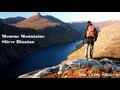
Slieve Donard 849m, Slieve Commedagh 767m, Slieve Binnian 745.9m, Slieve Bearnagh 739m, Slievelamagan 702.2m, Slieve Meelbeg 701.9m, Slieve Meelmore 687m, Slieve Binnian North Tor 682.5m, Slieve Bearnagh North Tor 680m, Slieve Binnian North Top 678m,
 Get Notifications
Lake District: Dale Head Horseshoe
Crocknasharragh: Impressive views on nitial ascent.
 Colin Murphy
Crocknasharragh: Fine views on ascent
 Colin Murphy
Lake District: Coledale Horseshoe
Cunnigar: Short trek to summit
 Fergalh
Longish walk to isolated top
 Colin Murphy
Westtown Hill: Tramore's Highest Point
 DeirdreM
Knockbrinnea West Top: Eflanagan on the Knockbrinneas
 eflanaga
Ascending the Knockbrinneas from the north.
 simon3
Knockbrinnea West Top: Larger Twin
 Collaborative entry
Lobawn Loop - Clockwise avoids any steep ascent! Easy stream crossing.
Knockaunanattin West Top: Views, loughs and a navigational aid.
 simon3
Use of MountainViews is governed by conditions and a privacy policy.
Read general information about the site.
Opinions in material here are not necessarily endorsed by MountainViews.
Hillwalking is a risk sport. Information in comments, walks, shared GPS tracks or about starting places may not be accurate for example as regards safety or access permission. You are responsible for your safety and your permission to walk.
See the credits and list definitions.
 Visit our Facebook page.
 Length: 15.7km, Creator time taken: 9h45m, Ascent: 785m,
Descent: 849m
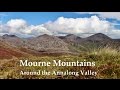
Places: Start at J3373623693, Slievelamagan, Cove Mountain, Slieve Beg, end at J3448921922 1.9km S from Start
Logged as completed by 1

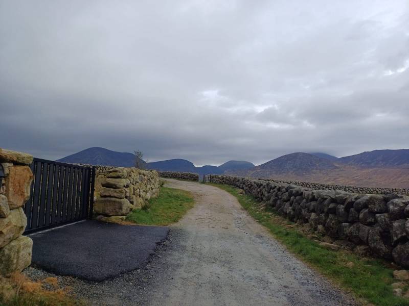
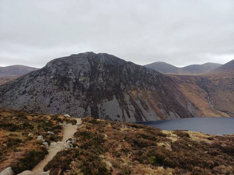
Starting from Carrick Little Car Park Up by The Blue Lough Onto Slieve Lamagan, continuing along the ridge to Brandy Pad and follow Annalong River Walk is On WalkNI.com https://www.walkni.com/mourne-mountains/central-mournes/
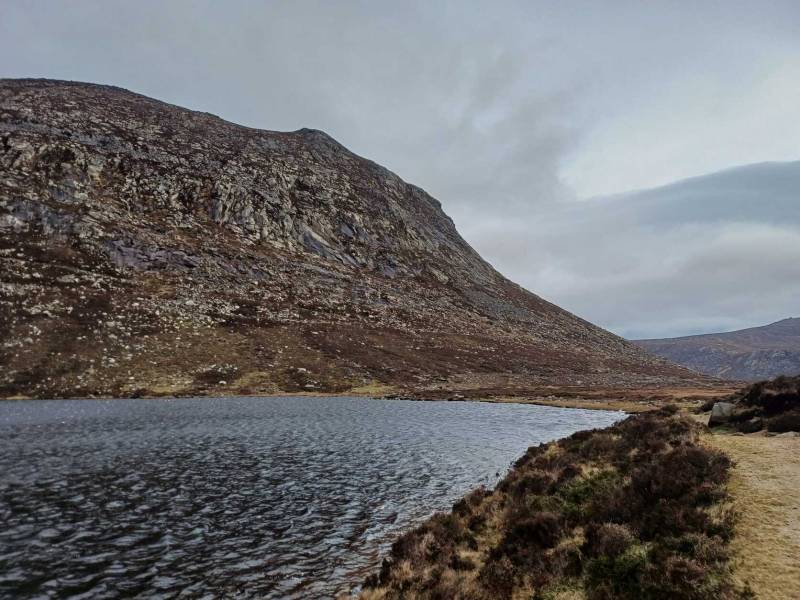
Looking Across to Ben Crom
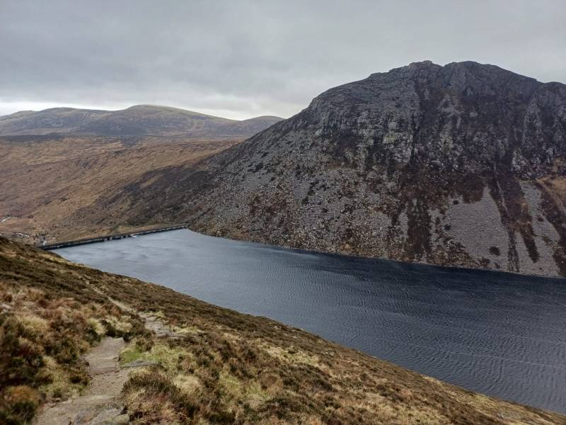
Overlooking Ben Crom Reservoir
NOTE: ALL information such as Ascent, Length and Creator time taken etc should be regarded as approximate. The creator's comments are opinions and may not be accurate or still correct.
Your time to complete will depend on your speed plus break time and your mode of transport. For walkers: Naismith's rule, an approximate though often inaccurate estimate, suggests a time of 4h 27m + time stopped for breaks
NOTE: It is up to you to ensure that your route is appropriate for you and your party to follow bearing in mind all factors such as safety, weather conditions, experience and access permission.
* Note: A GPS Height in the elevation profile is sourced from the device that recorded the track. An "SRTM" height is derived from a model of elevations for parts of the earth. More detail![]()
|
|
|
||
| MountainViews.ie, a Hill-walking Website for the island of Ireland. 2400 Summiteers, 1480 Contributors, maintainer of lists: Arderins, Vandeleur-Lynams, Highest Hundred, County Highpoints etc | |||