Baltinglass is set deep in the heart of Wicklow’s historic glens, and the sight of the imposing ruins of the Cistercian Abbey built above the bank of the River Slaney are testimony in stone to the fact that people settled here at an early period to farm the surrounding fertile land. But those who scale Baltinglass Hill looming above the village will be rewarded with much more than exceptional views. For close to the summit is evidence for the settlement of far earlier farmers in the area.
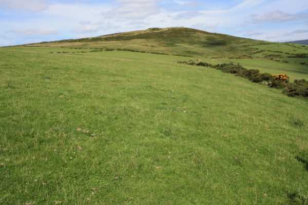
Parking is plentiful near the churchyard with its granite tower and a lane, shaded by trees hosting noisy rookeries which runs alongside, gives access to farmland. We pass across a couple of fields being grazed by sheep and cattle that are not perturbed by our presence. Eschewing the furze-choked cross, we head diagonally uphill to access croftland with large patches of unfurling bracken and a thin belt of easily traversed gorse at the top. The climb to this point is fairly steep, but the gradient eases as you pass into a large field used for grazing and the summit trig point looms into view. [ED: note this route is on private land and permission should be obtained before using it.]
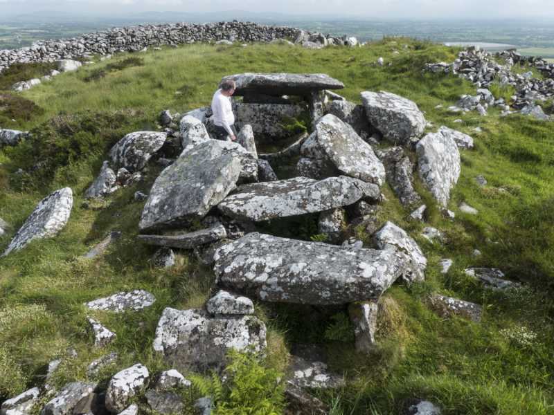
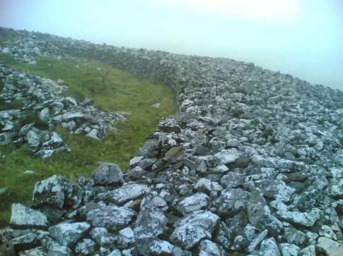
After crossing this field, the widely spaced double ramparts of Rathcoran Iron Age hill fort are encountered, cut through by a stone wall we'd just crossed. A bird’s eye view would see it hugging the heather clad contours below the summit to completely enclose it. At the summit is a much earlier badly damaged burial cairn 27m in diameter which has been robbed of its granite stone to build a protective wall around it and to demarcate the boundary of Baltinglass and Rathbran parishes. The cairn, possibly contemporaneous with Newgrange, comprises 3 passage-tombs clearly constructed over time as they partly overlie each other, and 2 single-chambered tombs. The northern tomb is the best preserved, comprising a short passage with some of its roof slabs intact, leading to a chamber with 3 shallow recesses containing a large basin stone with pecked ornament. The southern tomb is a jumble of fallen orthostats, some bearing the faint imprint of spiral art, while the western tomb has a collapsed corbelled roof with a barely visible passage.
The site was excavated in 1934-6 revealing evidence of the cremations of at least 3 adults and a child. Finds of carbonised hazelnuts, wheat grains and a saddle quern point to the extent of local climate change, affecting both the landscape cover and human settlement patterns. From 3,000-3,500 BC, the climate was drier and warmer, the glens were densely wooded, people lived much higher in the uplands and Neolithic farmers could cultivate arable crops above 1,000ft, on the slopes of hills like Baltinglass.
The sweeping vistas over the Wicklow and Blackstairs Mountains alone are worth the climb, but to ponder the purpose and meaning of this high place to our distant ancestors and how it connects with the megalithic structures dotting hillsides nearby, make Baltinglass Hill an absolute must.
Linkback: mountainviews.ie/summit/864/comment/16101/
Read Less


