This website uses cookies, which are small text files that the website puts on your device to facilitate operation. Cookies help us provide a better service to you. They are used to track general user traffic information and to help the website function properly.
Trailtrekker: Track/3181 in area near Bunnanimma, North Midlands (Ireland)
Bananimma is for Baggers Only!
Ascent: 40m,
Length: 1.8km,
Creator time taken: 22m30s
Descent: 31m,
Time predicted from Naismith's rule: 0h 25m + breaks
Click here to rate track
PlacesStart at H72603 14880, Bunnanimma, end at Start
Track Rating ..
[RWD version 1 ]
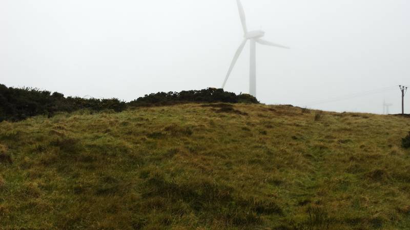
This is one of those hills that makes you question your sanity! Why bother, just to complete a list? Yes, that is the only reason! This hill deserves the minimum of effort, so I have copied and pasted the directions below from the short summary!
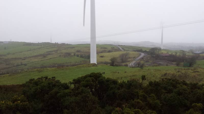
The best of the limited parking is adjacent to the water tower. Continue WSW along the lane which in time becomes a track. The summit area is clearly visible to the right, and is most easily accessed by climbing over a gate and then taking an oblique course across the field and over a (very) low wall. Sticklers who insist on standing on the exact highest point of a hill are advised that Bunnanimma's summit is (currently, at least) covered by a substantial gorse bush, so armour might be an idea.
By the way, this summit is at 266M, the Top of the Water Tower is 270M! Just saying is all.
Editing Details for track/3181
NOTE: ALL information such as Ascent, Length and Creator time taken etc should be regarded as approximate. The creator's comments are opinions and may not be accurate or still correct.
Your time to complete will depend on the speed of the slowest plus break time and your mode of transport.
NOTE: It is up to you to ensure that your route is appropriate for you and your party to follow bearing in mind all factors such as safety, weather conditions, experience and access permission.
Uploaded on: Mon, 1 Feb 2016 (00:21:31), Linkback: https://mountainviews.ie/track/3181/
* Note: A GPS Height in the elevation profile is sourced from the device that recorded the track. An "SRTM" height is derived from a model of elevations for parts of the earth. More detail
Use of MountainViews is governed by conditions and a privacy policy.
Read general information about the site. Opinions in material here are not necessarily endorsed by MountainViews.
Hillwalking is a risk sport. Information in comments, walks, shared GPS tracks or about starting places may
not be accurate for example as regards safety or access permission. You are responsible for your safety and your permission to walk.
See the credits and list definitions.


 Our Facebook page.