This website uses cookies, which are small text files that the website puts on your device to facilitate operation. Cookies help us provide a better service to you. They are used to track general user traffic information and to help the website function properly.
Feature count in area: 67, by county: : 60, Torfaen (UA): 1, Blaenau Gwent (UA): 1, Glamorgan [Morgannwg] (CoH) West Glamorg: 1, Mid Glamorgan (CoA) Rhondda Cynon Taff (: 1, Cardiff (UA): 1, Newport (UA): 1, Bridgend (UA): 1,
Highest Place: Craig y Llyn 600m
Starting Places in area Neath to Chepstow:
None for this area
Summits & other features in area Neath to Chepstow: Beacon Hill 306m, Blaen-y-cwm 416m, Bryn-serth 410m, Caerphilly Common 271m, Cefn Coch 571m, Cefn Eglwysilan 382m, Cefn Gwyngul 470m, Cefn y Rhondda 481m, Cefnrhos-gwawr 440m, Coed Cae Aberaman 436m, Coed yr Hendre 413m, Coetgae Isaf 450m, Coety Mountain (boundary) 574m, Coity Mountain [Coety Mountain] 578m, Craig y Llyn 600m, Craig y Llyn (boundary) 589m, Craig yr Allt 273m, Foel Fynyddau 370m, Foel Trawsnant 373m, Garth Hill 259m, Garth Hill 307m, Gwastad 551m, Hirwaun Common 515m, Mynydd Aberdar 457m, Mynydd Bedwellte 486m, Mynydd Blaengwynfi 528m, Mynydd Caerau 555m, Mynydd Carn-y-cefn 550m, Mynydd Cilfach-yr-encil 445m, Mynydd Corrwg Fechan 412m, Mynydd Dinas 258.1m, Mynydd Emroch - Craig Emroch 241m, Mynydd Garnclochdy 448m, Mynydd Gethin 491m, Mynydd Machen 362m, Mynydd Maendy 301m, Mynydd Margam 349m, Mynydd Pen-y-fan 409m, Mynydd Pen-y-graig 416m, Mynydd Ton 539m, Mynydd Twyn-glas 472m, Mynydd Ty'n-tyle 429m, Mynydd Tynewydd [Mynydd Ystradffernol] 518m, Mynydd y Ffaldau 430m, Mynydd y Glyn 377m, Mynydd y Grug 355m, Mynydd y Lan 385m, Mynydd Ynyscorrwg 502m, Pen Craig Abercwmboi 408m, Rhymney Hill 457m, Trostrey Hill 199m, Twmbarlwm 419m, Twn y Waun 451m, Twyn Brynbychan 411m, Twyn Crugyrafan [Graig Fawr] 559m, Tylorstown Tip 443m, Wentwood 309m, Werfa [Mynydd Llangeinwyr] 568m, Y Domen Fawr 504m Black Mountains: Blorenge 561m Welsh Valleys: Cefn y Brithdir 446m, Moel y Hyrddod 493m, Mulfran 524m, Mynydd James 550m, Mynydd Pen-y-cae 573m, Pen Garnbugail 477m, Pen-rhiw-Ifor 502m
Note: this list of places may include island features such as summits, but not
islands as such.
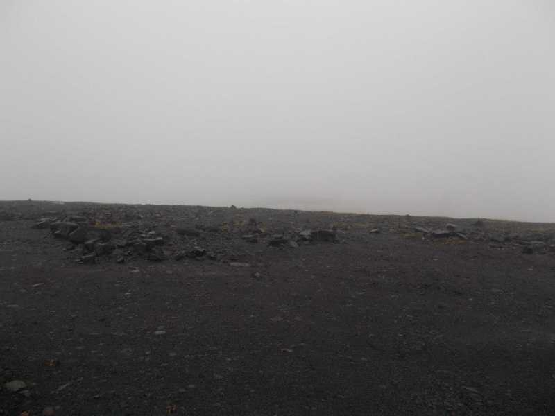
Twn y Waun, 451mHill
Place Rating ..
, in no lists Grid Reference SO08400 07400,
OS 1:50k mapsheet 160 Place visited by: 2members, recently by: rhw, Fergalh
I visited this place: NO (You need to be a logged-in member for this.)
Walked from road to south along fence to where the trig pillar once stood than to top of slag heap in case the top changes ! Linkback: mountainviews.ie/summit/B15615/comment/21127/
Use of MountainViews is governed by conditions and a privacy policy.
Read general information about the site. Opinions in material here are not necessarily endorsed by MountainViews.
Hillwalking is a risk sport. Information in comments, walks, shared GPS tracks or about starting places may
not be accurate for example as regards safety or access permission. You are responsible for your safety and your permission to walk.
See the credits and list definitions.


 Add a Place Comment for Twn y Waun


 Our Facebook page.