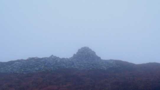
I climbed this mountain today and could not have picked a worse day for it in terms of views from the summit. But I had lots of navigation practice anyway! Started from Goles forest, which I reached from Plumbridge along the Glenelly Road. Past Sperrin Heritage Centre, through Cranagh and the last hamlet before the forest park is Sperrin. The forest is clearly marked on the right hand said of the road. (G
D (R682 939)) Thanks Gerrym for your reports they were very helpful in route planning. There is ample parking space here and you’re well off the road. From the car part I set off along the track. At the junction, about 150 m from car park I Took a right and followed this up through the forest. The road is tarmac and has a sustained incline. After approx 1.5Km on the track, it takes a sharp left turn but in front there is a clearing that is marked on the 1:25 000 scale map of the area. Leaving the track behind I used this clearing to make my way out of the forest and on to open hill side. This is a steep enough climb and the wind was starting rise. I left the forest at the foot of Carnanelly (G
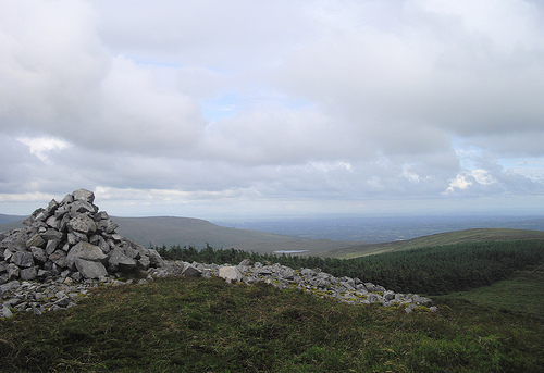
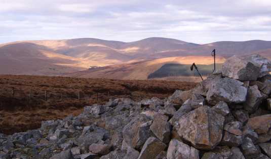
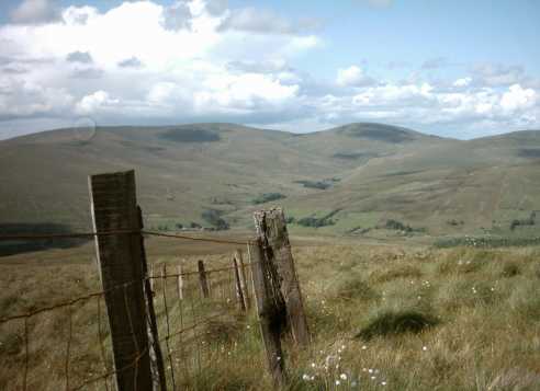
E (R679 925)) and climbed straight to the fence that runs to the summit. This is over very tough ground. Not particularly steep, but at this time of year, the softness, coupled with heather and bog, was tough going. I then followed this fence over stone mound to the summit, which, unfortunately, had absolutely no view - but the wind was very refreshing! Still optimistic about the reported good views, I made my way over to slieveavaddy (486m). I followed the fence down off the summit, past the cairn on the right hand side, and along the edge of the forest, onto open hillside and over to the summit. This was an easy walk along the fence as there was a small track alongside the fence and there was very little incline at slieveavaddy summit. Summit to summit took approximately 25 minutes at a steady pace, though against the wind! - But sadly, poor visibility prevented a good view. Though here, we could see the main Glenelly road. From the summit I walked straight down and followed the stream to the road. Before we got to the road we had a stream to cross and by chance or good luck we just happened to be standing beside what I could only describe as a sheep bridge! So this saved the feet for a while!. Took a left on the road and walked back to the car park which took approx.5 minutes. A lovely walk, great navigation practice, plenty of variation in terrain but I'll be back in the better weather to take in the views!
Linkback: mountainviews.ie/summit/338/comment/2586/
Read Less


 Our Facebook page.