If you want to use the website often please enrol (quick and free) at top right.

Camaderry Mountain 698.6m, Tomaneena 682.4m, Camaderry East Top 677.3m, Mullacor 660.7m, Lugduff 653.2m, Lugduff SE Top 638m, Brockagh Mountain 556.9m, Cullentragh Mountain 510m, Derrybawn Mountain 476.1m, Kirikee Mountain 474.5m,


 Get Notifications
Madeira: From Pico Arieiro to Pico Ruivo
Ben Creggan: Craggy summit with long descending spur to the east.
 Collaborative entry
Donations Drive, now finished.
Madeira: Coastal/Cliff walk to the Eastern Edge
Teevenacroaghy: Misty Achill.
 simon3
Dorinish More: Shapely islands in Clew Bay, Co Mayo.
 simon3
Madeira: Descent from Monte to Funchal
Crott Mountain: Quiet Arderin Beg at the east end of the Croagh Patrick ridge.
 Collaborative entry
Traverse of Lackavrea
 glencree
Teevenacroaghy: A heathery ridge bump with good views.
 Collaborative entry
Teevenacroaghy: A clear day on the Hill
 three5four0
One of Irelnad`s finest routes
Use of MountainViews is governed by conditions and a privacy policy.
Read general information about the site.
Opinions in material here are not necessarily endorsed by MountainViews.
Hillwalking is a risk sport. Information in comments, walks, shared GPS tracks or about starting places may not be accurate for example as regards safety or access permission. You are responsible for your safety and your permission to walk.
See the credits and list definitions.
 Visit our Facebook page.
 Length: 25.9km, Creator time taken: 6h 9m, Ascent: 887m,
Descent: 865m
Places: Start at T1419595971, end at Start
Logged as completed by 1

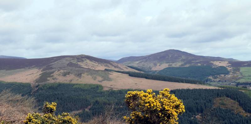
Brockagh East and Scarr from below Derrybawn

Meadow Pipit
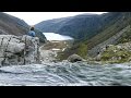
Upper lake and Camaderry
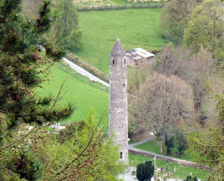
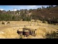
Glendalough Round Tower
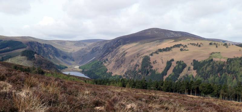
 Derrybawn with Sugarloaf in the distance
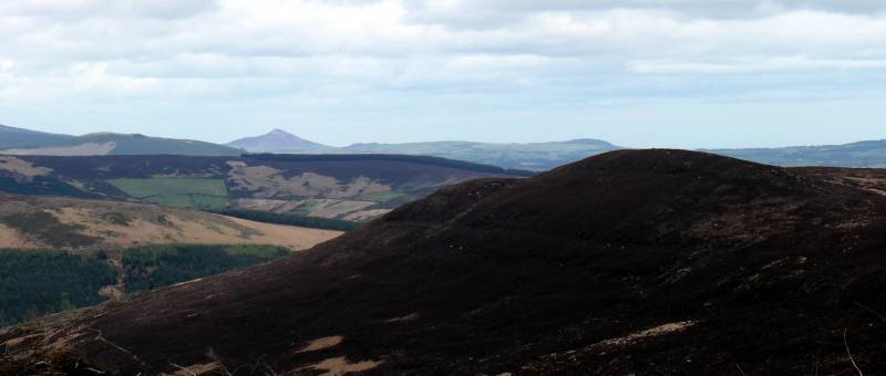
NOTE: ALL information such as Ascent, Length and Creator time taken etc should be regarded as approximate. The creator's comments are opinions and may not be accurate or still correct.
Your time to complete will depend on your speed plus break time and your mode of transport. For walkers: Naismith's rule, an approximate though often inaccurate estimate, suggests a time of 6h 39m + time stopped for breaks
NOTE: It is up to you to ensure that your route is appropriate for you and your party to follow bearing in mind all factors such as safety, weather conditions, experience and access permission.
* Note: A GPS Height in the elevation profile is sourced from the device that recorded the track. An "SRTM" height is derived from a model of elevations for parts of the earth. More detail![]()
|
|
|
||
| MountainViews.ie, a Hill-walking Website for the island of Ireland. 2400 Summiteers, 1480 Contributors, maintainer of lists: Arderins, Vandeleur-Lynams, Highest Hundred, County Highpoints etc | |||