This website uses cookies, which are small text files that the website puts on your device to facilitate operation. Cookies help us provide a better service to you. They are used to track general user traffic information and to help the website function properly.
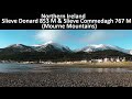
Peter Walker: Track/4116 in area near Slieve Donard, Mourne Mountains (Ireland)
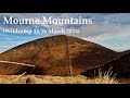
MV Members Walk - Mournes, 06/04/2019
Ascent: 1191m,
Length: 13.7km,
Creator time taken: 6h24m
Descent: 1198m,
Time predicted from Naismith's rule: 4h 43m + breaks
Click here to rate track
PlacesStart at Donard Car Park Newcastle (DonCPNc) J37411 30585, Slieve Donard, Slieve Commedagh, end at Start
Track Rating ..
[RWD version 1 ]
A fun time was had by all as we went up Donard by Thomas' Mountain, dropped down to the Brandy Pad before meandering under and eventually over Commedagh. The long drop down over Shanslieve led us back to the start before the inevitable tea, medals, food and booze (in varying measures). Those who haven't been on one of these trips before should know a) it's great, and b) it's not too demanding...this outing was definitely in 'B' territory (look how long we took, after all).
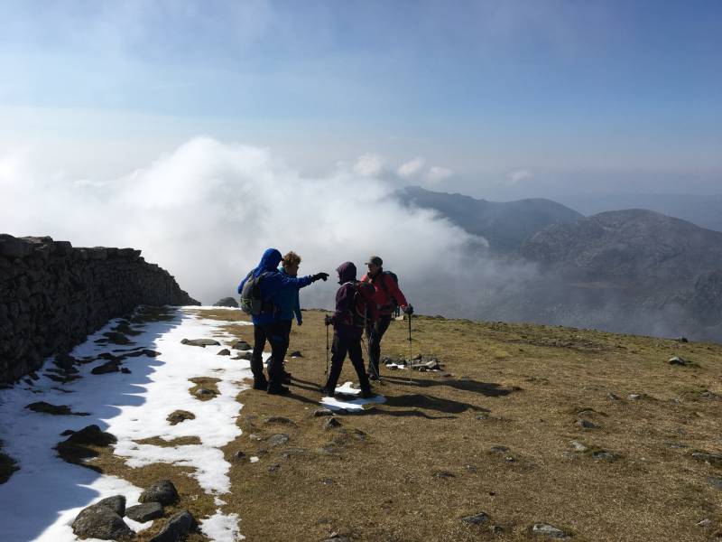
Dramatis personae on top of Donard
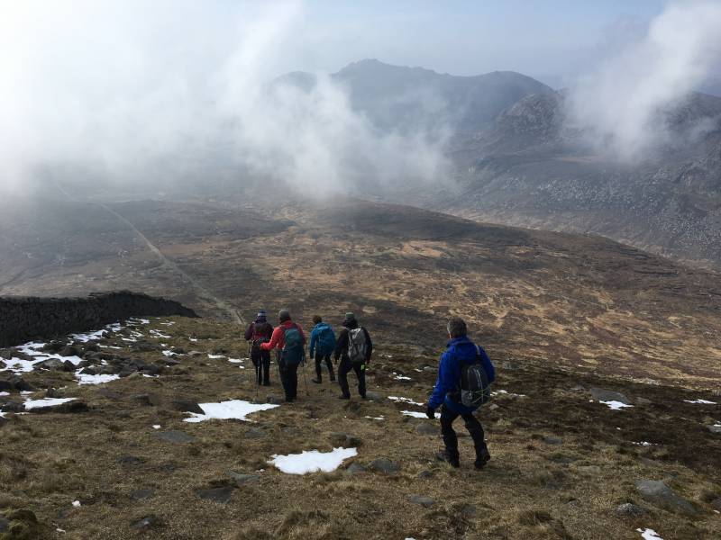
Heading for the Bog of Donard
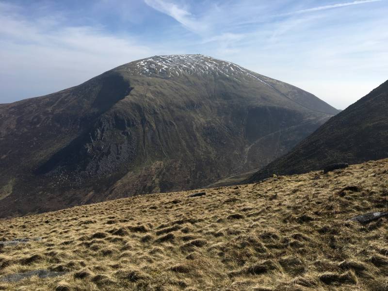
Slieve Bearnagh
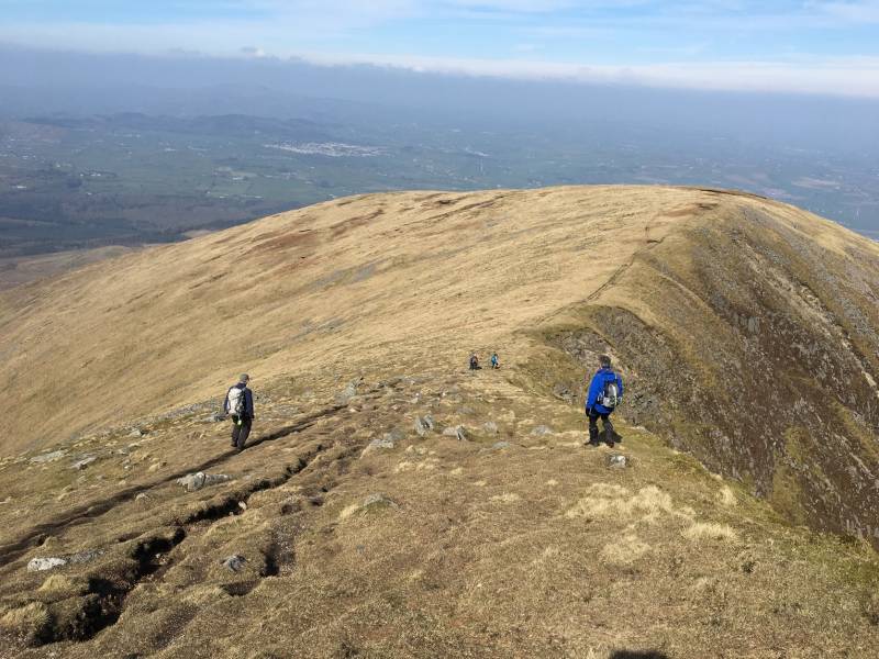
Descending Commedagh
Slieve Donard
Editing Details for track/4116
NOTE: ALL information such as Ascent, Length and Creator time taken etc should be regarded as approximate. The creator's comments are opinions and may not be accurate or still correct.
Your time to complete will depend on the speed of the slowest plus break time and your mode of transport.
NOTE: It is up to you to ensure that your route is appropriate for you and your party to follow bearing in mind all factors such as safety, weather conditions, experience and access permission.
Uploaded on: Mon, 15 Apr 2019 (19:44:19), Linkback: https://mountainviews.ie/track/4116/
* Note: A GPS Height in the elevation profile is sourced from the device that recorded the track. An "SRTM" height is derived from a model of elevations for parts of the earth. More detail
Use of MountainViews is governed by conditions and a privacy policy.
Read general information about the site. Opinions in material here are not necessarily endorsed by MountainViews.
Hillwalking is a risk sport. Information in comments, walks, shared GPS tracks or about starting places may
not be accurate for example as regards safety or access permission. You are responsible for your safety and your permission to walk.
See the credits and list definitions.


 Our Facebook page.