This website uses cookies, which are small text files that the website puts on your device to facilitate operation. Cookies help us provide a better service to you. They are used to track general user traffic information and to help the website function properly.
simon3: Track/3445 in area near Bray Head Hill, Wicklow (Ireland)
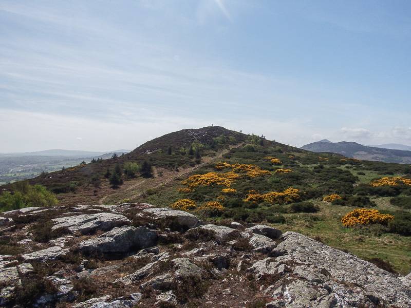
A fine breezy day on Bray Head Hill.
Ascent: 299m,
Length: 5.8km,
Creator time taken: 1h36m
Descent: 233m,
Time predicted from Naismith's rule: 1h 40m + breaks
Click here to rate track
PlacesStart at Kilruddery Cottages (KRud Ctg) O27515 15403, Bray Head Hill, end at Start
Track Rating ..
[RWD version 1 ]
Start from the Bray to Greystones road R761 on a small side road. There's parking for a number of cars. Walk up the track to the open, higher ground.
Looking south along the walk.
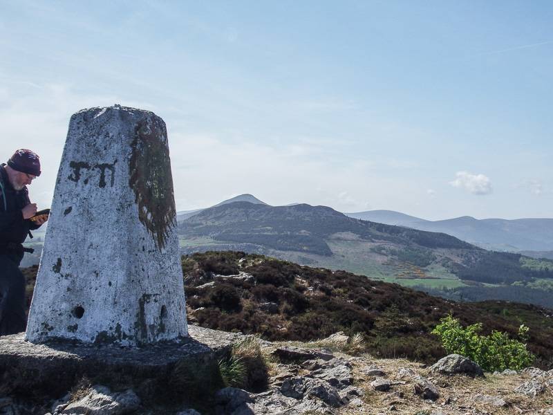
Trig pillar with Little Sugar Loafand Sugar Loaf behind.
There are a number of high paths on the route. Where they overlook the sea they form a grand balcony above the lower and well known cliff path (Bray to Greystones) which in turn is above the railway and the rocky shoreline.
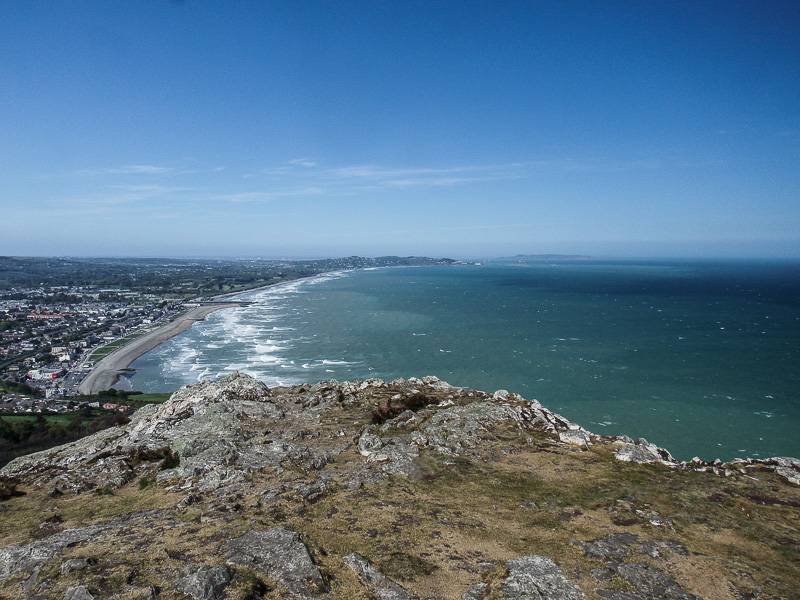
The north end of the walk overlooks Bray and the huge sweep of the coastline to Killiney.
On a good day such as the one on which this walk was done, you may encounter quite large numbers of people strolling up from Bray, at the north end of the route.
Editing Details for track/3445
NOTE: ALL information such as Ascent, Length and Creator time taken etc should be regarded as approximate. The creator's comments are opinions and may not be accurate or still correct.
Your time to complete will depend on the speed of the slowest plus break time and your mode of transport.
NOTE: It is up to you to ensure that your route is appropriate for you and your party to follow bearing in mind all factors such as safety, weather conditions, experience and access permission.
Uploaded on: Tue, 16 May 2017 (21:34:24), Linkback: https://mountainviews.ie/track/3445/
* Note: A GPS Height in the elevation profile is sourced from the device that recorded the track. An "SRTM" height is derived from a model of elevations for parts of the earth. More detail
Use of MountainViews is governed by conditions and a privacy policy.
Read general information about the site. Opinions in material here are not necessarily endorsed by MountainViews.
Hillwalking is a risk sport. Information in comments, walks, shared GPS tracks or about starting places may
not be accurate for example as regards safety or access permission. You are responsible for your safety and your permission to walk.
See the credits and list definitions.


 Our Facebook page.