Cookies.
This website uses cookies, which are small text files that the website puts on your device to facilitate operation. Cookies help us provide a better service to you. They are used to track general user traffic information and to help the website function properly.
Features
Nearby features appear when you click the map.
Declutter tracks on map.
Place Search
Video
X
Pub: by
Antrim Hills Area , N: North Antrim Hills Subarea
Feature count in area: 27, all in Antrim, OSI/LPS Maps: 14, 15, 4, 5, 8, 9
Highest Place: Trostan 550m

Starting Places (3) in area Antrim Hills:
Donalds Carn, Rathlin Island Ferry Port, Whitehead Golf Club

Summits & other features in area Antrim Hills:
Cen: Central Antrim Hills: Carncormick 436m, Collin Top 429m, Crockalough 402m, Mid Hill 440m, Skerry Hill 459m, Slieveanorra 508m, Slievenahanaghan 418m, Soarns Hill 403m, Tievebulliagh 402m, Trostan 550m
Central Antrim Hills: Slievenanee 543m
N: North Antrim Hills: Carnanmore 379m, Croaghan 417m, Crockaneel 403m, Cross Slieve 206m, Knocklayd 514m, Lannimore Hill 207m
N: Rathlin Island: Kilpatrick (Rathlin Island) 134m
S: Islandmagee: Donalds Carn 141m, Muldersleigh Hill 131m
S: South Antrim Hills: Agnew's Hill 474m, Big Collin 353m, Black Hill 381m, Carnearny 319m, Douglas Top 402m, Slemish 437.9m
W: West Antrim: Long Mountain 215m

Note: this list of places may include island features such as summits, but not islands as such.
Rating graphic.
Croaghan, 417m Hill Cruachán A name in Irish,
Place Rating ..
(prob. Ir. Cruachán [PDT], 'little stack'), Antrim County in Ulster province, in Carn Lists, Croaghan is the 865th highest place in Ireland.
Grid Reference D11800 30800, OS 1:50k mapsheet 5
Place visited by: 61 members, recently by: ElaineM76, headspace, Paddym99, garybuz, Colin Murphy, Bernieor, madfrankie, Kilcoobin, pdtempan, PPruzina, LorraineG60, MichaelG55, eamonoc, whoRya, Ulsterpooka
I visited this place: NO (You need to be a logged-in member for this.)
Longitude: -6.24886, Latitude: 55.111829, Easting: 311800, Northing: 430800, Prominence: 112m,  Isolation: 4.5km
ITM: 711724 930782
Bedrock type: Argyll Group; Psammitic & pelitic schist, marble,, (Torr Head Limestown Formation)

  Short or GPS IDs, 6 char: Crg422, 10 char: Croaghan

Linkback: https://mountainviews.ie/summit/748/
Gallery for Croaghan (Cruachán) and surrounds
Summary for Croaghan (Cruachán): Straightforward trail to summit.
Summary created by Colin Murphy 2022-11-28 12:26:58
            MountainViews.ie picture about Croaghan (<em>Cruachán</em>)
Picture: Sunrise over Croaghan summit area
One starting point is from A (D12290 29427), where there is parking for a about 6 cars. Cross the road where you’ll see a sign for the Croaghan Way. This trail is narrow and in poor condition in places, especially in winter. In fact it disappears completely on occasion. Simply follow the trail directly north for 1.5km up a gently rising slope all the way to the unmarked summit. A slightly shorter alternative is to from point B (D11975 29707), where there is parking for a couple of cars at the side of the road. Hope the fence and a ditch and walk about 200m east across boggy ground where you should pick up the trail, then turn north towards the summit. Allow about 1 hour up and down.
Linkback: mountainviews.ie/summit/748/comment/5507/
Member Comments for Croaghan (Cruachán)
Comment create / edit display placeholder

            MountainViews.ie picture about Croaghan (<em>Cruachán</em>)
Picture: https://www.youtube.com/watch?v=uEbqTaOIVpU
A Nicky McBride Film
by CaptainVertigo 2 Apr 2015
It's time to welcome Nicky McBride ("The Antrim Rambler") to the world of Irish mountain video makers. Croaghan is not the most spectacular of creatures but that is immaterial: Nicky gives the potential walker an excellent idea of what to expect. And it's all done with crystal clear video images. This appears to be a job done by two walkers: one filming and one moving. Plenty of colour. I look forward to more material.

https://www.youtube.com/watch?v=uEbqTaOIVpU Linkback: mountainviews.ie/summit/748/comment/17902/
Read Less
Read More

            MountainViews.ie picture about Croaghan (<em>Cruachán</em>)
Picture: Croaghan's summit has the characteristic conical profile of hills with this name
Ascent from Altarichard car-park
by pdtempan 21 Sep 2020
Climbed Croaghan by what must be one of the shortest possible routes: across the moorland from the car-park at the top of Altarichard (C (D123 294)). Some steps lead down from the road to an information board about the Croaghan Way. From here there is a gently descending path between two fences for the first few hundred metres before it emerges onto the open moorland and begins to climb towards the summit with occasional marker poles. About 200 metres short of the summit you reach a fence with a stile, but crossing it has been made rather difficult by the construction of a second fence parallel to the older one, less than a metre from it. I used a solid fence-post with diagonal supports about 20m from the stile to cross the first fence and then walked back between the two fences to the stile. You would need to be pretty careful here not to rip your clothes as the two fences are so close together. From the summit there was an excellent view of Knocklayd, Rathlin and Kintyre. Linkback: mountainviews.ie/summit/748/comment/20893/
Read Less
Read More

kdsb23 on Croaghan
by kdsb23 25 Jun 2009
Took a evening stroll round the longer Breen Forest Walk this evening. Sad to see that the route for the Altarichard Car park to the summit is becoming badly eroded. Think the route is now standard for Duke of Ed. hikes.

Also met herd of goats in the Forest. Linkback: mountainviews.ie/summit/748/comment/3886/
Read Less
Read More

            MountainViews.ie picture about Croaghan (<em>Cruachán</em>)
Picture: Looking north from Croaghan summit towards Knocklayd
slemish on Croaghan
by slemish 16 Oct 2009
I had never climbed Croaghan before today and wasn't expecting much but it turned out to be an excellent little hill. I parked at a lay-by just off the Altarichard road (D (D119 297)). The trail towards the 417m summit is clearly marked from here all the way up. As the other comments state the trail is badly eroded and after a summer of heavy rain it was like walking through treacle. I advise staying off the trail by a couple of metres where the ground is firmer. Not too steep on the ascent but the deep heather slows you down somewhat. Fortunately at about 390m this gives way to short grass for the final approach to the peculiar knobbly summit, which is in contrast to the 'rounded dome' shape of most of the Antrim hills. The view north from Croaghan is hidden on the ascent until the last minute and is worth waiting for. A fabulous view down Glenshesk and past Knocklayd to the cliffs on Rathlin island. Further still the distant Paps of Jura were crisply outlined aginst the blue sky - perhaps the clearest I've ever seen them. Slievanorra with its twin masts dominates the view to the south-east with the tops of Trostan and Tievebulliagh also visible. The walk could be extended through Breen Wood if desired and today that would have been nice as it was unseasonably warm for mid-October. However I headed back down to the car to complete a very enjoyable and peaceful walk - it can done in 40 minutes. Linkback: mountainviews.ie/summit/748/comment/4212/
Read Less
Read More

            MountainViews.ie picture about Croaghan (<em>Cruachán</em>)
Picture: Looking N to Knocklayd from the top of Croaghan
Wild flattish top.
by Harry Goodman 21 Sep 2020
Climbed Croaghan, with a friend, on 26 Jan 2010. We started at Altarichard Car Park E (D123 293) and turned left along the road until we reached a waymarker with red and blue arrows pointing the way to the hill 
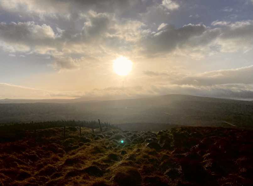
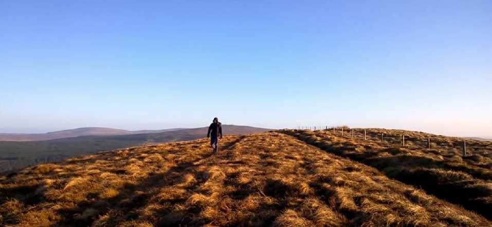
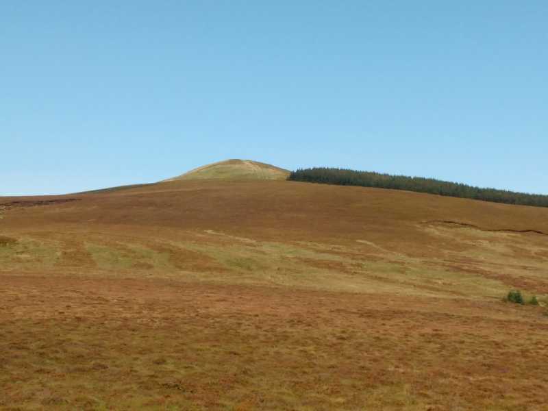
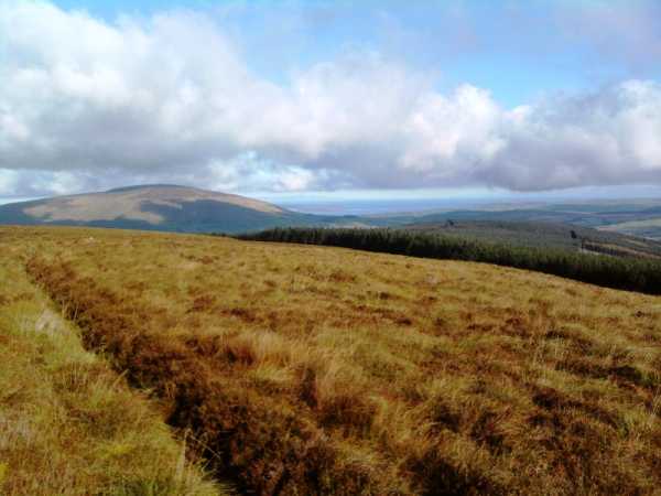
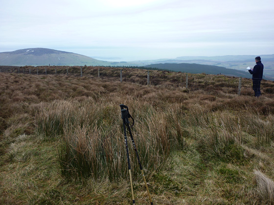
F (D120 297). The route we followed was the 6.5 miles Breen Forest Trail (red arrows). At present the waymarking will safely guide the walker around this loop walk but for added security, should the waymarkers not always remain in place, I have included a number of map references around the route. This has been influenced by gerrym's comment (May 2008) that the car park contained a packed information board detailing the Breen Walk and other information. Sadly the car park is now clearly a shadow of its former self! The decorative entrance wall is crumbling fast either due to weather erosion or vandalisim and the notice board refered too by gerrym is no longer there! While there is adequate parking on a good surface there is also evidence that it is being used as a tip for rubbish. However, back to the walk! Once at the highpoint of the waymarked path the unmarked summit lies a few metres to the left (W) on the other side of the fence. This said the top while a little bumpy is really quite flat. A short distance S of the top is a small cairn of stones which clearly does not mark the top as it is on the downslope. For anyone simply wishing to bag the top, up and down could be achieved in a leisurely 50 minutes. As the views from the top are well described in other comments I will not add to these, suffice to say that to-day the view of the Sperrins rising out of the low level mist was magnificent. From the top we went N down to the forest at G (D117 316) where we joined a soft green grassy forest ride, but beware! in places it is very soft so much so that I went down some distance over my knees and was glad I had my colleague to help pull me out. This grassy ride later becomes a stone forest track and continues on to a T-junction at H (D12500 33150). Turn right and stay with the forest track right to it's end at I (D126 307). Turn right along a rough track and follow it out to the open hillside before turning left along the forest edge. Watch for a stile up to your left , go over it and then descend left again to a forest track at J (D12827 30598). Follow it to a T-junction K (D132 297), turn right and follow out to the road where a right turn leads back to the car park. While I enjoyed the walk I feel I could not have justified a round trip of over 100 miles simply to bag this top. Without doubt the best part of the walk is in the first 30 minutes climbing up to Croghan summit. The waymarking at present is excellent and although much of the remainder of the walk is in the forest there are many cleared areas with expansive views. For anyone looking for a shorter loop the blue waymarkers take a shorter looped return roue back to the start. Linkback: mountainviews.ie/summit/748/comment/4375/
Read Less
Read More
EDIT Point of Interest
text
Videos


Recent Contributions
x
Conditions and Info
Use of MountainViews is governed by conditions and a privacy policy.
Read general information about the site.
Opinions in material here are not necessarily endorsed by MountainViews.
Hillwalking is a risk sport. Information in comments, walks, shared GPS tracks or about starting places may not be accurate for example as regards safety or access permission. You are responsible for your safety and your permission to walk.
See the credits and list definitions.

OSi logo
OSNI/LPS logo
Open Street Map
(Various variations used.)
British summit data courtesy:
Database of British & Irish Hills