Summary created by jackill
2014-08-29 08:41:44
Park near the old hostel site at Ballydavid room for 2-3 cars,at the forestry entrance
 KilMoy Brn (S01816 27948)
 and walk uphill on a good forest track to to
A (S02055 26681) turn right and on to
B (S01141 26901), cross up through the wire to the topmost track and follow that to
C (S00790 26330) and from there turn uphill to the summit .
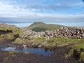
As you ascend look back down to the curious field of small rocks below you.
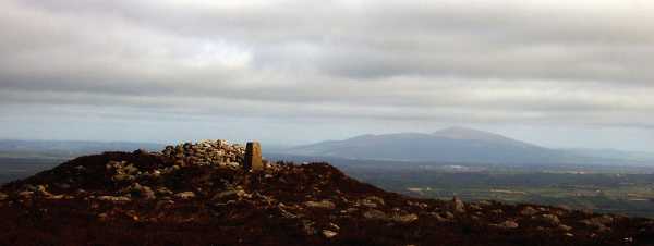
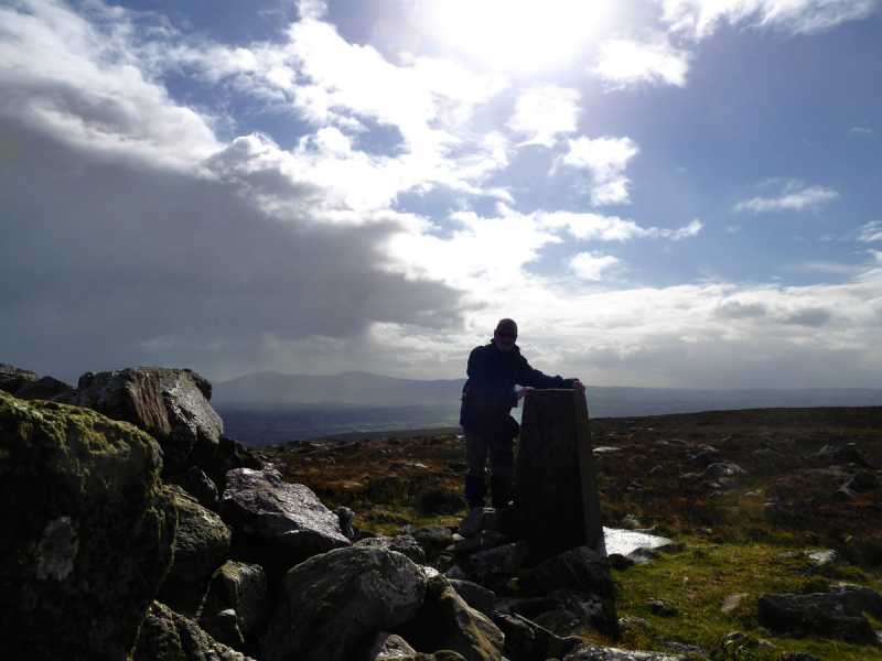
The summit is marked by a cairn, trig pillar and a shelter from the wind. On a clear day you have tremendous views of the Knockmealdowns, the Comeraghs, Slievenamon, the ridge of Slievenamuck and the Slieve Felims away across the plains of South Tipperary.
You can carry on to visit Slievanard and Sturrakeen and then return by the field of rocks previously mentioned. There is a track through the rocks you can follow to a junction at
D (S01488 26550). Here take the left fork, hop the fence and follow the track to
E (S01561 26915) turn right and then left at
F (S01603 26934), go left at the next track junction and then down hill crossing the road at
G (S01832 27439) emerging at
H (S02003 27630) near the start point. This makes a more interesting return than going back the way you came and its not as complicated as it sounds once you start down.
Linkback: mountainviews.ie/summit/626/comment/5385/


 Our Facebook page.