On 2 Sept 2010 my wife and I decided to go and have a look at Scalp Mt. Having read gerrym's comments about an "initially brutal uphill climb" of some 3 miles on a concrete road to the top and having an aversion to road walking I did not savour the prospect of the climb or even more so the descent. I drove to the start of the concrete road
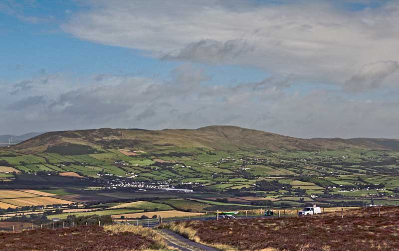
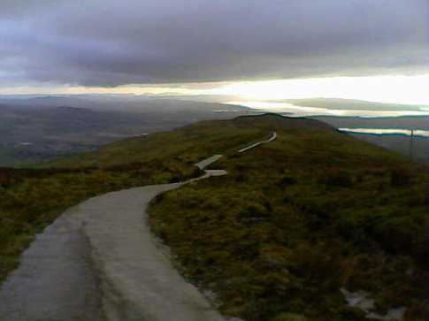
B (C249 396) and as suggested by gerrym called at the house on the left just before a sign on the gate indicating that the road ahead was closed. I spoke to the landowners son and he assured me there was no problem in using the concrete road to access the hill and indeed if I wanted to, I could drive to the top. In pointing to the sign that the road was closed he re-affirmed that I could use it to drive up and, if questioned, to say that the owner's son had given me permission. After a very brief consideration of what we should do we opted to drive up part way and in doing so cut out the steep uphill grind on concrete of some 3k. Once past the first set of communications masts the hill flattened out considerably and I decided to park at
C (C39896 26670) off road near a stone seat and just over 1k from the summit. From here it was a fairly gentle climb to the second set of communications masts and the end of the concrete road. The high point of the hill lies directly behind the communications compound at
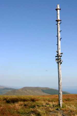
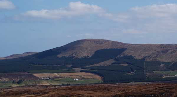
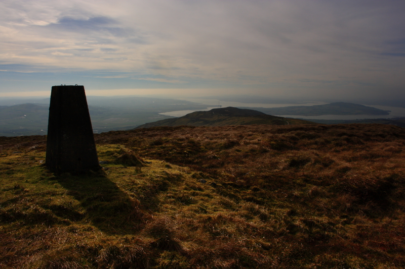
D (C40607 27140) and is marked by a high isolated telegraph pole adorned with a number of direction indicators to points in Scotland and much nearer to home in and around Donegal. Although the day was warm and hazy we could see the main Sperrins ridge and closer at hand the Urris Hills, Raghtin More, Bulbin, Slieve Main and Slieve Snaght. Due to the haze the mountains to the W were bearly visable but given a clear day I have no doubt this would be a fine viewing platform from which to see them. When there we also walked out to the trig pillar
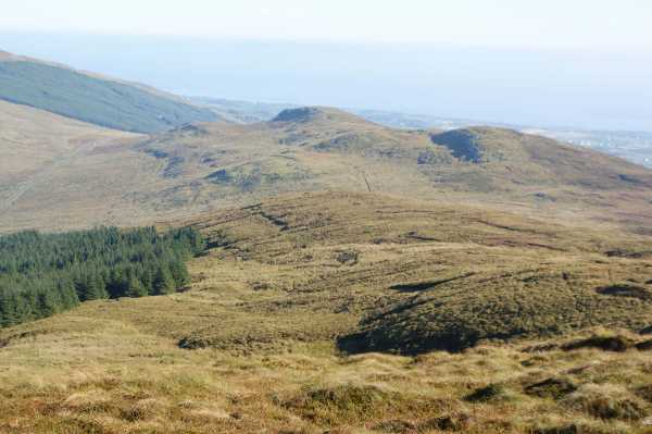
E (C40687 26966) and, some 50 metres beyond it, to a small rough wooden cross placed there quite recently by some nuns. In total this short walk was only about 2.5 k with 80 metres of climb and, allowing for some time spent wandering around the summit area, could comfortably be done in 45 minutes. When driving down I pulled over to allow a 4wd to pass. The driver was another son of the owner who was going up to do some fencing and he further confirmed that we were welcome to be there. Yes I have been to the top of Scalp Mt. and yes I drove two-thirds of the way there but I have no regrets to have avoided an unecessary bone crunching ascent/descent of 6k on arthritic joints when it could be avoided. For anyone of a like mind I would suggest that, when seeking permission to access the hill, you also ask if you might drive up part of the way. For the purist seeking an off road option to climb this hill, it may be possiblle to access it from Grannia's Gap
F (C43100 27700) and climb the ridge S over Rocky Hill and then SE over Nadaphreaghane and then E to Scalp Mt.
Linkback: mountainviews.ie/summit/502/comment/6090/
Read Less


 Add a Place Comment for Scalp Mountain, An Scailp


 Our Facebook page.