This website uses cookies, which are small text files that the website puts on your device to facilitate operation. Cookies help us provide a better service to you. They are used to track general user traffic information and to help the website function properly.
Feature count in area: 30, all in Galway,
OSI/LPS Maps: 37, 38, 44, 45, EW-CON, MSW
Highest Place: Tully Mountain West 306m
Starting Places (66) in area Galway Coastal Hill: Angler's Return, Aughrusbeg Lough, Ballyconneely, Ben Lettery Hostel, Brandy Harbour, Bridge St Clifden, Bundouglas Bay, Bunnageeha, Cashel Church, Cleggan House, Cloonsie Quay, Cnoc Mordáin, Connemara National Park Visitor Centre, Coorhoor Lough North, Dernasliggaun, Dogs Bay Beach, Emlaghdauroe Bridge, Emlaghdauroe South, Eragh Island South, Fee Lough SW, Foher, Furnace, Fuschia Lane, Glencoaghan River Bridge, Glenmore, Gort Mór, Gortdrummagh West, Illaunroe North, Illaunroe South, Inaghbeg Path, Inchamakinna, Inishlay, Inishnee Bridge, Kilkieran South West, Lettercallow School Road, Letterfrack Lodge, Lettergesh Beach, unuseableLettermullen Pier, Loch Chamais, Lough Anivan Bend, Lough Auna S, Lough Fee East, Lough Nafiddaun South, Lough Natawny, Lough Tanny, Mace Head, Muck Lough NW, Mweenish Cemetary, Nacreeva Lough, Nambrackkeagh Lough, Omey Strand, Owen na Baunoge River, Owengar Bridge, Ros an Mhíl, Ross Beach, Ross Point, Ross Quay, Roundstone, Skeaghatimull, Sky Road, The Big Ring, Tievegarriff, Toombeola Bridge, Water Reservoir, Water Tank, Water Tank Carna
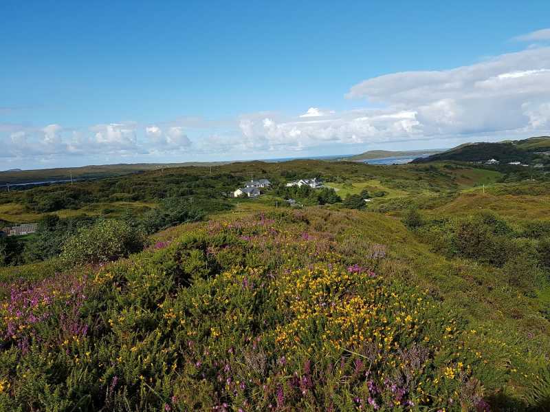
Summits & other features in area Galway Coastal Hill: Ardagh 49m, Ardbear N 64m, Ballynew 84m, Barraderry 68m, Camus Eighter 72m, Camus Hill 96m, Cleggan Beacon 61m, Cuilleen 97m, Dawros More North 41m, Derryadd West 127m, Derrygimlagh West 41m, Derrylahan 49m, Doon Hill 67m, Faul 50m, Foher 223m, Gortmore 122m, Kilkieran 165m, Kinvarra 67m, Knockfin 49m, Lehid 53m, Lettercallow 109m, Mannin Beg 41m, Maum 62m, Murneen 73m, Murvey 81m, Rossaveel 48m, Shanboolard 85m, Streamstown East 79m, Streamstown West 103m, Tully Mountain West 306m
Note: this list of places may include island features such as summits, but not
islands as such.
Ardbear N, 64mCoastal Hill
Place Rating ..
Ardbear is the townland name, Galway County in Connacht province, in no lists Grid Reference L66632 50167,
OS 1:50k mapsheet 37 Place visited by: 3members, recently by: Fergalh, conormcbandon, sandman
I visited this place: NO (You need to be a logged-in member for this.)
The walk marker informs you that the Connemara Greenway is 1km east and beside it a farm gate with a lock at A (L66439 50072) will allow you access to the summit area that is if you cross over. Looking up towards the summit area do not despair for if you are observant enough horse tracts will take you up to the summit , otherwise do not have too much skin exposed. Although there are nice views over to Clifden this hill really does not have much to offer. Linkback: mountainviews.ie/summit/5018/comment/19623/
Use of MountainViews is governed by conditions and a privacy policy.
Read general information about the site. Opinions in material here are not necessarily endorsed by MountainViews.
Hillwalking is a risk sport. Information in comments, walks, shared GPS tracks or about starting places may
not be accurate for example as regards safety or access permission. You are responsible for your safety and your permission to walk.
See the credits and list definitions.


 Add a Place Comment for Ardbear N


 Our Facebook page.