Folk horror movies follow a similar pattern. Our hero arrives at a wonderfully fertile valley bursting with flowers and fruits, he is naïve but on some sort of quest. So it was with me, on the hottest day of the year I arrived in Kilcommon after midday, determined to obtain Mauherslieve for my list of Arderins. I parked in the protective shadow of the local church and prayer garden. The village being strangely deserted except for a shambling old man wearing religious medals who side-eyed me as he mumbled along. As I put on my boots, another old fellow shouted “Hello!” from behind a nearby wall. “I’m off to climb Mauherslieve” I said. “I hope the Mother gives you a breeze” he said back. I was startled by this frankly weird statement. At any moment I expected Christopher Lee to appear as Lord SummerIsle and invite me to his castle: “I boast the finest collection of folklore this side of Maynooth. Indeed the good fathers would be astonished by my copy of Malleus maleficarum” I looked up, the old man had gone and Lord SummerIsle hadn’t appeared. Essentially, I reversed the end of the pilgrim route, walking N uphill to reach a stile before a modern grey house. Having crossed the river, the walk was hot and heady with the scent of flowers and abundant bright yellow Tormentil, used in folk remedies across Europe since early times. I stopped at the mass rock with its fine view across the valley. I was in a clearing surrounded by white hawthorn. This being early June, the hedges and bushes were in full bloom.
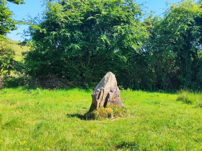
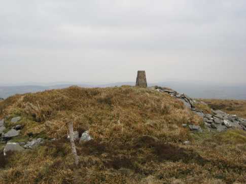
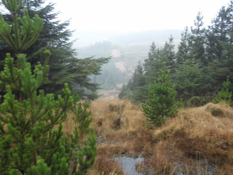
I pushed on through open ground, then forest where the cool shade was a welcome respite from a baking sun. The bogland was bone dry and the ground hard as concrete. Higher again, I left the butterflies and bees to take the summit spur. A marker said “2h return” which proved conservative (1h20). As with most folk horror stories, a problem arose. My old Achilles injury began to trouble me, and I slowed down considerably. Nevertheless, I reached the summit 40 minutes after the turnoff. The summit has a chambered cairn oriented to the North, and it was here that the wandering sons of Mil, met the goddess Fodhla. In contrast, I had the summit of Mother mountain to myself with views to Keeper hill, and the Galtees. I hobbled back down to the pilgrim path and then down. In the horror movie this would be the point where a beautiful local would tend to my ankle with her mystical enchantments. No doubt the smell of silage and clouds of insects were discouraging the fair folk of Tipperary from doing the same- I made my own way down. I took a short detour before the river, to see a large standing stone in a neat Hawthorn grove, before returning to the car. I fed the village dog as I got the boots off. A fine day, full of scents and flowers and ancient sacred spaces. It had taken a leisurely 3.5h, but allow another 30 mins for photos, invocations to Pan or any ritual sacrifices you deem necessary.
Linkback: mountainviews.ie/summit/368/comment/23981/
Read Less


 Our Facebook page.