Members and Supporters, the MountainViews Committee requests your help to meet the costs of the website and of other activities such as insured events or publications.
Feature count in area: 15, all in Mayo,
OSI/LPS Maps: 23, 24, 31, 32
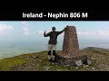
Highest Place: Nephin 806m
Starting Places (13) in area East Mayo: Bellanaderg Bridge, Cloondaff Church, Cuilkillew S, Glasheens River, Gortnadrehy South, Gortnadrehy West, L5709 Lugnamannaun River, Lough Ben, Loughanaveeny, Nephin CP Fiddaunduff, Nephin CP Forest Road, R312 Boghadoon, R312 Prughlish
Summits & other features in area East Mayo: E: Charlestown Hills: Knock Hill 213m, Mullaghanoe 234m N: Foxford Hills: Carranarah 197m, Gortnadrehy 143m NW: Nephin: Cuilkillew 130m, Nephin 806m, Tristia 322m NW: Pontoon Hills: Crucknaree 297m, Farbreiga 395m, Knockaglana 154m S: Kiltimagh Hills: Rush Hill 197m, Slieve Carn 262m W: Croaghmoyle: Burren 396m, Croaghmoyle 430m, Muckanagh Hill 220m
Note: this list of places may include island features such as summits, but not
islands as such.
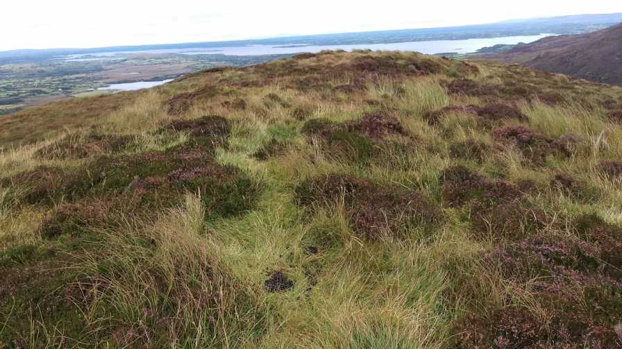
Crucknaree, 297mHill
Place Rating ..
, Mayo County in Connacht province, in Binnion Lists, Crucknaree is the 1167th highest place in Ireland.
Grid Reference G13880 01856,
OS 1:50k mapsheet 31 Place visited by: 7members, recently by: phonohan, justynagru, eamonoc, Fergalh, sandman, Garmin, chalky
I visited this place: NO (You need to be a logged-in member for this.)
For such a small hill this is one of the better views i have come across.Parking is at the view point located at A (G13687 01329) marked on map.You can enter the gate opposite and pick your way thru the heather to the summit B (G13880 01856) or alternatively enter at the gate lower down the road and enter up towards the ESB pylon. Linkback: mountainviews.ie/summit/1147/comment/18321/
Use of MountainViews is governed by conditions and a privacy policy.
Read general information about the site. Opinions in material here are not necessarily endorsed by MountainViews.
Hillwalking is a risk sport. Information in comments, walks, shared GPS tracks or about starting places may
not be accurate for example as regards safety or access permission. You are responsible for your safety and your permission to walk.
See the credits and list definitions.


 Our Facebook page.