This website uses cookies, which are small text files that the website puts on your device to facilitate operation. Cookies help us provide a better service to you. They are used to track general user traffic information and to help the website function properly.
eamonoc: Track/4999 in area near Ben Lugmore East Top, Mweelrea (Ireland)
Teevenabinnia via Mweelrea
Ascent: 1234m,
Length: 16.9km,
Creator time taken: 6h31m
Descent: 1238m,
Time predicted from Naismith's rule: 5h 27m + breaks
Click here to rate track
PlacesStart at L84542 67189, Ben Lugmore East Top, Ben Lugmore, Ben Lugmore West Top, Ben Bury, Mweelrea, Mweelrea SE Spur, Teevnabinnia, end at Delphi Resort (Delphi) L84048 64684, 2.6km S from Start
Track Rating ..
[RWD version 1 ]
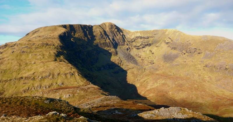
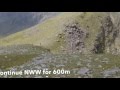
Had not been on Teevnabinnia, so did Mweelrea round, Teevnabibbia a bit of a slog as an add on. But done on a stunning day, on two previous visits to Mweelrea had no views at all. Worth the effort for the views alone. Pic below view back to Mweelrea from Mweelrea SE Spur
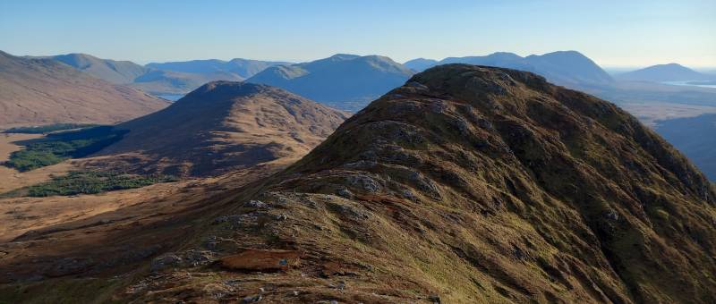
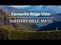
Mweelrea SE Spur with Teevnabinnia behind. Bundorragha river with Ben Creggan in view
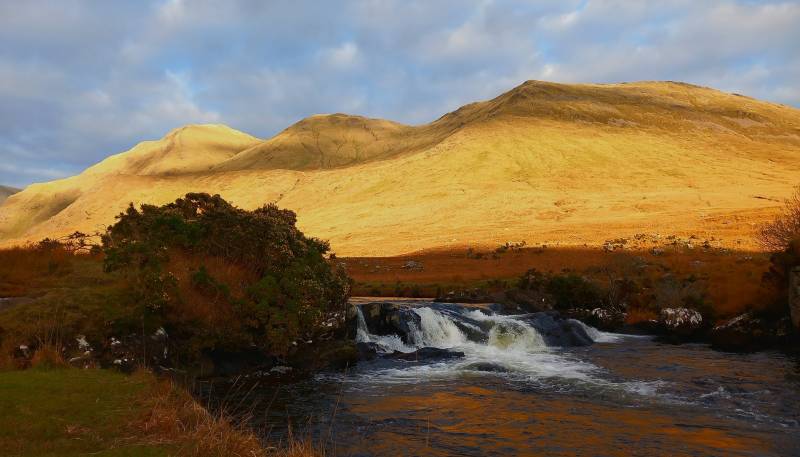
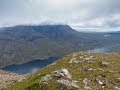
Bundorragha river with Ben Creggan in view
Editing Details for track/4999
NOTE: ALL information such as Ascent, Length and Creator time taken etc should be regarded as approximate. The creator's comments are opinions and may not be accurate or still correct.
Your time to complete will depend on the speed of the slowest plus break time and your mode of transport.
NOTE: It is up to you to ensure that your route is appropriate for you and your party to follow bearing in mind all factors such as safety, weather conditions, experience and access permission.
Uploaded on: Sat, 2 Dec 2023 (20:39:21), Linkback: https://mountainviews.ie/track/4999/
* Note: A GPS Height in the elevation profile is sourced from the device that recorded the track. An "SRTM" height is derived from a model of elevations for parts of the earth. More detail
Use of MountainViews is governed by conditions and a privacy policy.
Read general information about the site. Opinions in material here are not necessarily endorsed by MountainViews.
Hillwalking is a risk sport. Information in comments, walks, shared GPS tracks or about starting places may
not be accurate for example as regards safety or access permission. You are responsible for your safety and your permission to walk.
See the credits and list definitions.


 Our Facebook page.