This website uses cookies, which are small text files that the website puts on your device to facilitate operation. Cookies help us provide a better service to you. They are used to track general user traffic information and to help the website function properly.
JohnA: Track/4565 in area near Djouce, Wicklow (Ireland)
Ballinastoe, Djouce, Maulin
Ascent: 878m,
Length: 17.4km,
Creator time taken: 5h31m
Descent: 883m,
Time predicted from Naismith's rule: 4h 57m + breaks
Click here to rate track
PlacesStart at Ballinastoe MBT CP (Bl'Stoe MBT) O19453 07768, Djouce, Maulin, end at Start
Track Rating ..
[RWD version 1 ]
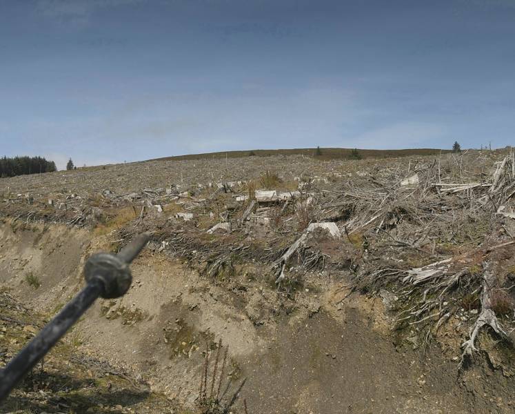
This walk starts from Ballinastoe Wood (Bl'Stoe Wd) which has MTB routes and some car parking. Unlike many a walk using the main forest roads from here it takes an ingenious route towards White Hill. At times it wends its way through areas recently felled as of 2021 but nevertheless is easily walkable.
Confused but crossable if you follow the route.
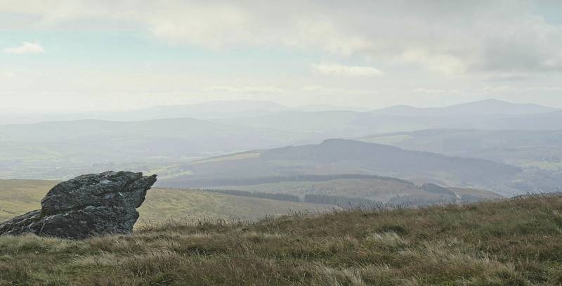
Getting to some height allowed views to the south. In the picture there are the Croaghans (Croaghan Moira to the right skyline and Croghan Kinsella, left skyline) which are nearly at the furthest southern reaches of the Wicklow Mountains. The mist makes the places look much further than they are.
Misty view south.
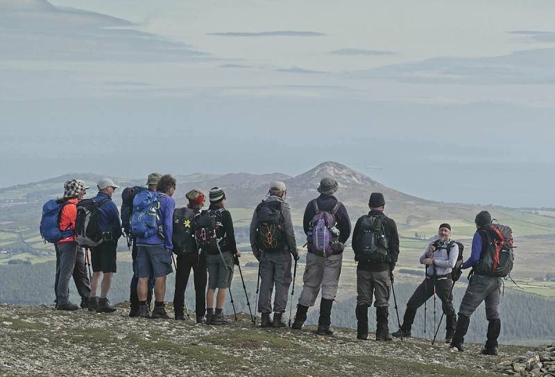
The route avoids the obvious bored-walk route over White Hill and up to Djouce. Eventually it reaches the top. Being a club walk we have photographed the walk photograph.
The route goes down into the Glensoulan valley with its bridge and then follows an unconventional route onto Maulin.
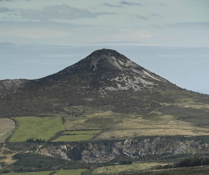
The Great Sugarloaf, Wicklow.
The good lighting if not great clarity allowed the view above of the Great Sugarloaf. It is easy to see the huge quarry just to the west of it.
Editing Details for track/4565
NOTE: ALL information such as Ascent, Length and Creator time taken etc should be regarded as approximate. The creator's comments are opinions and may not be accurate or still correct.
Your time to complete will depend on the speed of the slowest plus break time and your mode of transport.
NOTE: It is up to you to ensure that your route is appropriate for you and your party to follow bearing in mind all factors such as safety, weather conditions, experience and access permission.
Uploaded on: Fri, 24 Sep 2021 (10:19:55), Linkback: https://mountainviews.ie/track/4565/
* Note: A GPS Height in the elevation profile is sourced from the device that recorded the track. An "SRTM" height is derived from a model of elevations for parts of the earth. More detail
Use of MountainViews is governed by conditions and a privacy policy.
Read general information about the site. Opinions in material here are not necessarily endorsed by MountainViews.
Hillwalking is a risk sport. Information in comments, walks, shared GPS tracks or about starting places may
not be accurate for example as regards safety or access permission. You are responsible for your safety and your permission to walk.
See the credits and list definitions.


 Our Facebook page.