This website uses cookies, which are small text files that the website puts on your device to facilitate operation. Cookies help us provide a better service to you. They are used to track general user traffic information and to help the website function properly.
BrianKennan: Track/4875 in area near Sugarloaf, Wicklow (Ireland)
Knickeen Corriebracks Loop
Ascent: 850m,
Length: 19.7km,
Creator time taken: 6h55m
Descent: 849m,
Time predicted from Naismith's rule: 5h 21m + breaks
Click here to rate track
PlacesStart at Knickeen Cross S98251 94874, Sugarloaf, Lobawn, end at Start
Track Rating ..
[RWD version 1 ]
Its an interesting and challenging walk across very varied terrain, seldom crossed in some areas, and with excellent views on a clear day. The walk starts and ends with the Knickeen Ogham Stone and avoids crossing the military range in the Glen of Imaal.
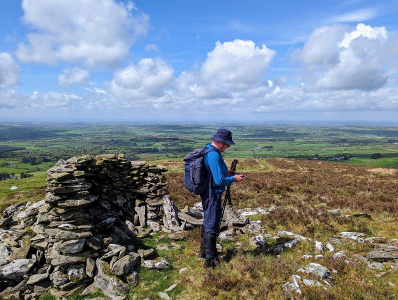
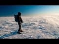
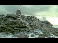
Climb along forest roads and boggy trails to the summit of Sugarloaf, then keep along the ridges to Logar, Lowbawn and drop along the falling ridgeline to the stone shelter at the Pinnacle. This is a good spot for a sheltered rest and refreshment.
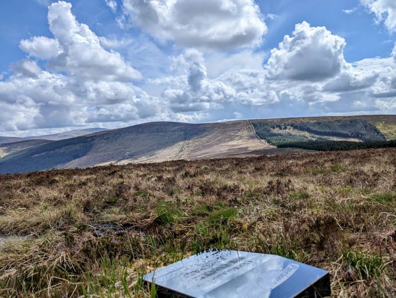
Descend northward through the heather to find a lage gate in the deer fence. Through the gate, follow a trail northwest through the forest to join a forest road. Follow the road for 750m, before climbing steeply through the forest towards the summit of Corriebracks, just south of which you'll find a small plaque in memory of the four victims of a 2008 air crash.
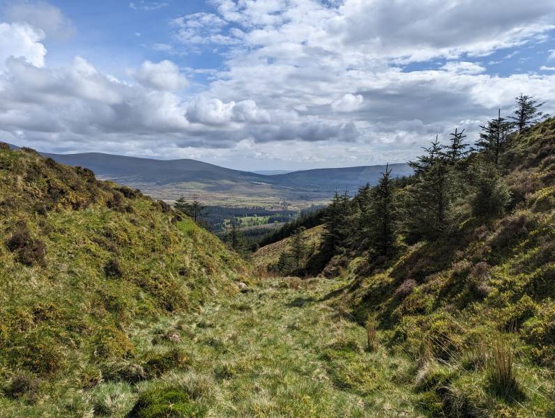
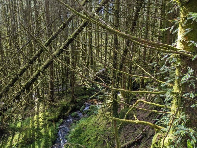
Heading south. from here, take the trail on the left of the corridor up Lowbawn. This is a slippy boggy climb, so take it easy. Follow the trail as it contours eastward around Lowbawn. A subsequent following of this route revealed that the corridor is more easily traversed by following neither the left nor the right boggy tracks, but along the grassy ground in the middle. It remains a mystery why the boggy tracks seem to be the normal way to do it. They're awful. Cross the corridor in a SE direction to the corner of the felled forest and turn left. Follow the track eastwards to a point north of Cavanagh's Gap. Climb to Cavanagh's Gap and then follow Hairy Man's Brook downward. For more interesting surroundings, stay in the depth of the gully rather than use the track along the trees at left. But, about three quarters way down, climb out of the gully to the track as the gully becomes not suitable.
Continue the descent through the forest, rather than following the zig-zagging forest road, crossing the forest road three times before rejoining it back to Knickeen.
Editing Details for track/4875
NOTE: ALL information such as Ascent, Length and Creator time taken etc should be regarded as approximate. The creator's comments are opinions and may not be accurate or still correct.
Your time to complete will depend on the speed of the slowest plus break time and your mode of transport.
NOTE: It is up to you to ensure that your route is appropriate for you and your party to follow bearing in mind all factors such as safety, weather conditions, experience and access permission.
Uploaded on: Thu, 11 May 2023 (13:48:31), Linkback: https://mountainviews.ie/track/4875/
* Note: A GPS Height in the elevation profile is sourced from the device that recorded the track. An "SRTM" height is derived from a model of elevations for parts of the earth. More detail
Use of MountainViews is governed by conditions and a privacy policy.
Read general information about the site. Opinions in material here are not necessarily endorsed by MountainViews.
Hillwalking is a risk sport. Information in comments, walks, shared GPS tracks or about starting places may
not be accurate for example as regards safety or access permission. You are responsible for your safety and your permission to walk.
See the credits and list definitions.


 Our Facebook page.