This website uses cookies, which are small text files that the website puts on your device to facilitate operation. Cookies help us provide a better service to you. They are used to track general user traffic information and to help the website function properly.
simon3: Track/4848 in area near Sugarloaf, Wicklow (Ireland)
Outward helter skelter, sunny upland return.
Ascent: 673m,
Length: 17.7km,
Creator time taken: 5h21m
Descent: 687m,
Time predicted from Naismith's rule: 4h 39m + breaks
Click here to rate track
PlacesStart at Donard S92931 97852, Sugarloaf, Lobawn, end at Start
Track Rating ..
[RWD version 1 ]
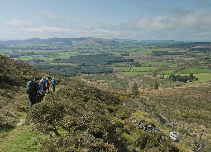
Take a look at the saw tooth of the first two thirds, this was a helter-skelter of interesting routes avoiding the top on forest edge paths mostly, which seemed to take in every minor valley available! Returning the weather became sunny and warm along the tops.
Views on the edge.
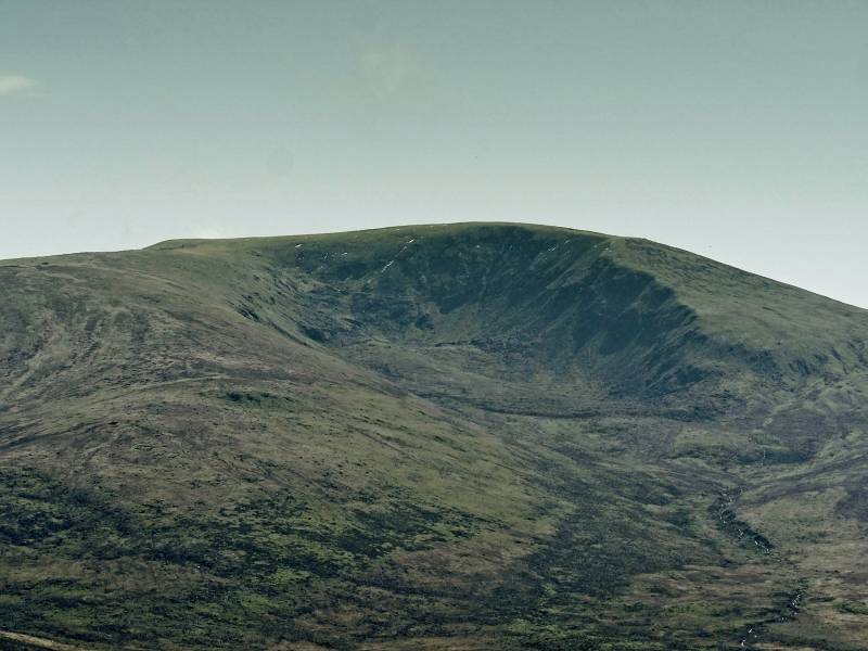
We got a great view of the North Prison of Lugnaquilla.
Along the ridge on way back we enjoyed great views on the well lit ridge. Boggy underfoot.
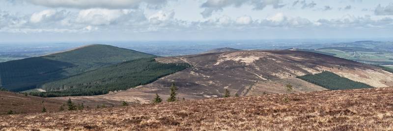
Church Mountain left, and the somewhat dour Corriebracks to the right.
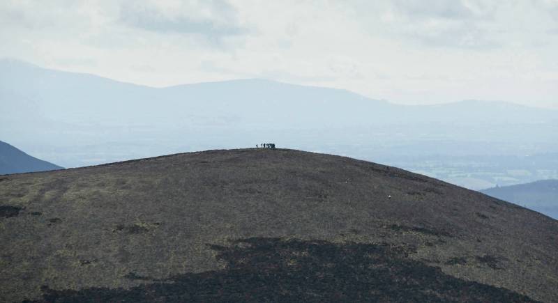
Just as we went past Lobawn another group appeared on the top of the Sugarloaf over Newpark Glen. The backdrop rising ground to the left is Mount Leinster in the Blackstairs.
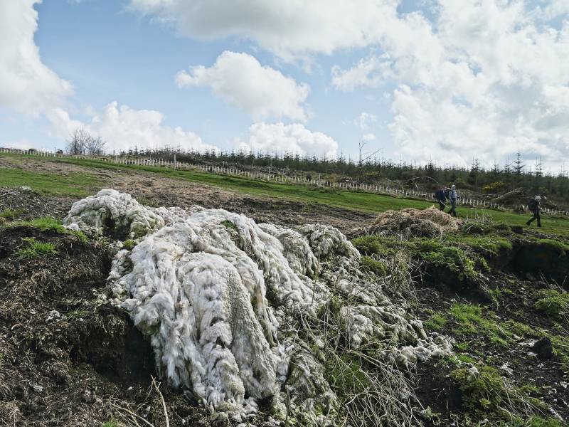
Wool dump.
A curious thing we noticed on the way down way wool. First, on long stretches of wire fencing and then later in a dump. Haven't seen that before.
Overall this is an interesting and different route.
Editing Details for track/4848
NOTE: ALL information such as Ascent, Length and Creator time taken etc should be regarded as approximate. The creator's comments are opinions and may not be accurate or still correct.
Your time to complete will depend on the speed of the slowest plus break time and your mode of transport.
NOTE: It is up to you to ensure that your route is appropriate for you and your party to follow bearing in mind all factors such as safety, weather conditions, experience and access permission.
Uploaded on: Sun, 16 Apr 2023 (17:42:32), Linkback: https://mountainviews.ie/track/4848/
* Note: A GPS Height in the elevation profile is sourced from the device that recorded the track. An "SRTM" height is derived from a model of elevations for parts of the earth. More detail
Use of MountainViews is governed by conditions and a privacy policy.
Read general information about the site. Opinions in material here are not necessarily endorsed by MountainViews.
Hillwalking is a risk sport. Information in comments, walks, shared GPS tracks or about starting places may
not be accurate for example as regards safety or access permission. You are responsible for your safety and your permission to walk.
See the credits and list definitions.


 Our Facebook page.