This website uses cookies, which are small text files that the website puts on your device to facilitate operation. Cookies help us provide a better service to you. They are used to track general user traffic information and to help the website function properly.
simon3: Track/4224 in area near Dublin/Wicklow (Ireland)
Pleasant walk around Downs Hill.
Ascent: 354m,
Length: 10.7km,
Creator time taken: 2h52m
Descent: 359m,
Time predicted from Naismith's rule: 2h 44m + breaks
Click here to rate track
PlacesStart at O26652 09155, Downs Hill, end at Grove Bar (Grove) O26568 09587, 440m N from Start
Track Rating ..
[RWD version 1 ]
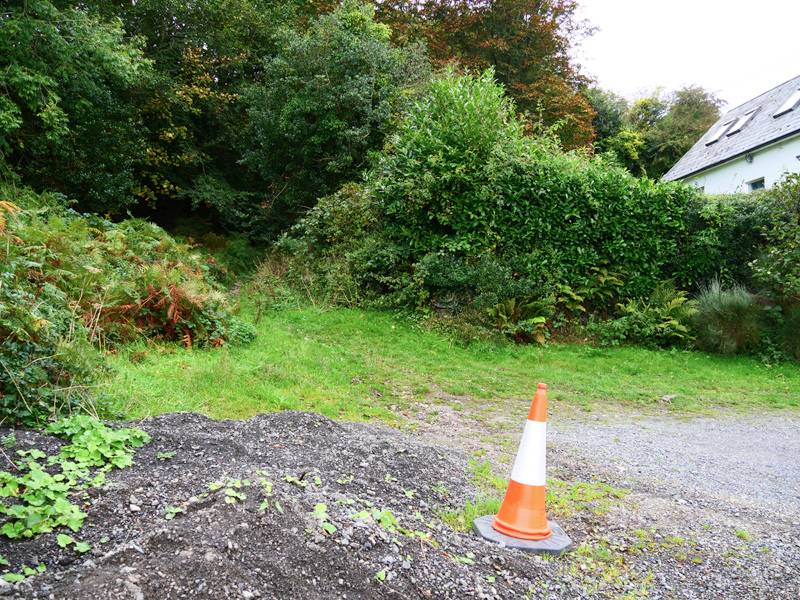
This is a pleasant short walk in a forest around Downs Hill. One congenial place to start and finish from is the Grove Bar which is at the south end of Old Downs Road. This road will give you access to the forest, though first there is an approximate 2k road walk. The critical thing is that you leave the road at O 25996 10581 going through what appears to be a very unpromising small path. It is easy to miss.
Leaving the public road. Don't miss this spot.
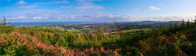
Having done that you quickly find yourself on a substantial forest road which you will follow for most of the track. You can go around this route clockwise or anticlockwise. We chose clockwise and went left which is SE initially. What was surprising about Downs Hill is that where the trees allow there are excellent views towards all cardinal points of the compass.
Views south east.
Early on there are views to the east and coast including the view towards Wicklow town.
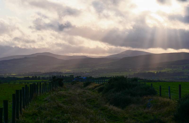
Wicklow in the fading sun.
Later on there are views to the SW over much of Central Wicklow. This moody picture includes Scarr, Tonelagee and even has Turlogh Hill and is reached from a short spur off the main forest road at the western extremity of the route. There is a magnificent stand of substantial Sitka Spruce.
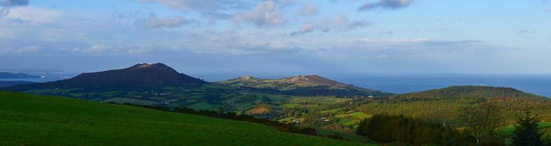
Views to the NE.
Later we found this evening spread towards the NE including from the left the triple topped Little Sugar Loaf, the double topped Bray Head Hill and the telecom tower topped Kindlestown. Towards the left you can see a white horizontal bar. This is Sorrento Terrace, an extraordinarily recognisable place from much of NW Wicklow.
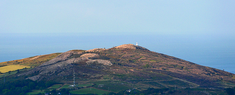
Caption
One curiousity we found looking towards Bray Head Hill was beside the small white painted trig pillar was a larger pillar to the right. It was the Kish Lighthouse. Return the way you came along the Old Downs Road and perhaps have a drink at the Grove Bar. There is another route on MV around this area in track/4058 which starts from a different place.
Editing Details for track/4224
NOTE: ALL information such as Ascent, Length and Creator time taken etc should be regarded as approximate. The creator's comments are opinions and may not be accurate or still correct.
Your time to complete will depend on the speed of the slowest plus break time and your mode of transport.
NOTE: It is up to you to ensure that your route is appropriate for you and your party to follow bearing in mind all factors such as safety, weather conditions, experience and access permission.
Uploaded on: Wed, 9 Oct 2019 (15:59:19), Linkback: https://mountainviews.ie/track/4224/
* Note: A GPS Height in the elevation profile is sourced from the device that recorded the track. An "SRTM" height is derived from a model of elevations for parts of the earth. More detail
Use of MountainViews is governed by conditions and a privacy policy.
Read general information about the site. Opinions in material here are not necessarily endorsed by MountainViews.
Hillwalking is a risk sport. Information in comments, walks, shared GPS tracks or about starting places may
not be accurate for example as regards safety or access permission. You are responsible for your safety and your permission to walk.
See the credits and list definitions.


 Our Facebook page.