Cookies.
This website uses cookies, which are small text files that the website puts on your device to facilitate operation. Cookies help us provide a better service to you. They are used to track general user traffic information and to help the website function properly.
Features
Nearby features appear when you click the map.
Declutter tracks on map.
Place Search
Video
X
Pub: by
Dublin Area , S: Saggart Subarea
Feature count in area: 18, by county: Dublin: 16, Wicklow: 7, Kildare: 1, of which 6 are in both Dublin and Wicklow, OSI/LPS Maps: 43, 50, 56, AWW, EW-DM, EW-WE, EW-WW
Highest Place: Kippure 757m

Starting Places (77) in area Dublin:
Allagour Road, Ballinascorney Golf Club, Ballylerane, Ballylow Bridge, Ballyreagh Wood, Ballyross Forest, Ballysmuttan Long Stone, Barnaslingan Wood, Bohernabreena North CP, Boranaraltry Bridge, Bray Harbour, Cabinteely House, Cannon's Corner, Carrickgollgan, Castelkelly Bridge, Clonkeen Road South, Cloon Wood Cp, Cransillagh Brook , Crone Wood CP, Cruagh Forest Recreation Area, Cruagh Road Hairpin, Curtlestown Wood CP, Dunnes Bank, Enniskerry, Fernhill Estate, Gap Road, Garadhu Road, Glencree Reconciliation, Hell Fire Wood CP, Johnnie Fox Pub, Kilbride Army Camp Entrance, Kilgobbin Lane, Killakee Car Park, Killiney Hill Carpark, Kilmashoge Forest CP, Kilsaran Quarry, Kippure Bridge, Kippure Estate, Kippure Transmitter Gate, Knockbrack, Knockree west, Lackan Wood S, Lamb Doyles, Laughanstown Luas, Lee's Lane, Liffey Bridge, Liffey Head Bridge, Lough Bray Lower, Lough Bray Upper, Lynch's Park Road, Marley Park CP, Novara Avenue, Bray, Old Wicklow Way entrance, Pavilion Theatre, Pine Forest Road, Putland Road, Raheenoon, Rathmichael RC Church, Rathmichael Wood CP, Sally Gap, Sally Gap N, Seahan 265', Seahan 300', Sean Walsh Park, Seefin Trailhead, Shankill Byrnes Bar, Shankill Tributary Bridge, Slademore Road, Sraghoe Brook, St Catherine's Park, The Lamb Hill, The Scalp, Tibradden Forest Recreation Area, Tibradden Lane, Ticknock Forest, Vance's Lane, Wyattville Close

Summits & other features in area Dublin:
N: Howth: Ben of Howth 171m
N: Naul: Knockbrack 176m
S: Dublin South East: Carrickgollogan 275.2m, Glendoo Mountain 585.1m, Killiney Hill 153.5m, Knocknagun 555.3m, Montpelier Hill 383m, Prince William's Seat 553.5m, Tibradden Mountain 466.2m, Two Rock Mountain 536m
S: Kippure & Kilbride: Corrig Mountain 617.1m, Kippure 757m, Seahan 647.3m, Seefin 620.6m, Seefingan 722.9m
S: Saggart: Cupidstown Hill 378.6m, Knockannavea 400.8m, Saggart Hill 396.9m

Note: this list of places may include island features such as summits, but not islands as such.
Rating graphic.
Knockannavea, 400.8m Hill
Place Rating ..
, Tallaght Hill, Killenarden Hill, Dublin County in Leinster province, in Carn Lists, Knockannavea is the 947th highest place in Ireland.
Grid Reference O05949 23352, OS 1:50k mapsheet 50
Place visited by: 81 members, recently by: Tommer504, Carolineswalsh, Kaszmirek78, hak493r, michaelseaver, gaoithe, finkey86, Dee68, megk971, Ansarlodge, SenanFoley, childminder05, arthurdoylephoto, Beti13, Roeshanx
I visited this place: NO (You need to be a logged-in member for this.)
Longitude: -6.413477, Latitude: 53.250219, Easting: 305949, Northing: 223352, Prominence: 98m,  Isolation: 4.3km
ITM: 705875 723380
Bedrock type: Greywacke siltstone, slate, quartzite, (Aghfarrell Formation)

  Short or GPS IDs, 6 char: Kncknv, 10 char: Kncknv

Linkback: https://mountainviews.ie/summit/1064/
Gallery for Knockannavea and surrounds
Summary for Knockannavea : Easy but unexciting bag
Summary created by Colin Murphy, simon3, Geo 2019-08-13 10:23:56
            MountainViews.ie picture about Knockannavea
Picture: Most likely highest point
Unfortunately this summit is isolated, Spruce covered and not terribly attractive, on the plus side it is easily bagged, using track/s the whole way. Half an hour or so will easily take it in if nearby.
Start at VanLn (O06432 23039) as per sandman's instruction, but park about 50m short of the gate, where there is space for 1 car. An alternative is to take the next cul-de-sac east off the R114.Go to forest barrier at Ra'noon (O07288 23554) where there's loads of parking. Follow the track West to the top at A (O05957 23373). The summit is difficult to identify, although about 150m along the track that crosses the highest area, there is a small rise and a boulder on the right, which the GPS indicated to be the highest point.
Please note that in the shooting season (Sept to end Feb) licensed shooting may take place here. While such shooting takes place under a code of conduct walkers would be well advised to wear a red jacket, make a human noise and keep to well lit tracks where possible.
Linkback: mountainviews.ie/summit/1064/comment/15308/
Member Comments for Knockannavea
Comment create / edit display placeholder

Hillwalkers, Beware of Becoming Hunting Fodder
by madeleineblue 7 Mar 2017
Good to hear your experience of boys with (lethal) toys. My experience was in the area between Drumgoff and Carrawaystick at the start of the hunting season. Returning along the old forest road from a lovely jaunt over by Kelly's Lough, I came upon a large jeep pulled up on the ditch. As I approached, two men (in said camouflage) appeared. One wielding a hunting (I presume) rifle, the other a serious looking pair of binoculars, they were an odd sight at 2 o'clock in the afternoon. Odd enough that I didn't hang around to chat. However, I did spare a thought for other walkers I'd seen in the distance during the course of my walk, and mentioned my sighting to a local. I wasn't the only person puzzled seeing hunters so late in the day. Cue phone calls and discussion. Result? Well, it depends on where you see the hunters as to who is responsible for checking them out. If you can figure that one out, then it's up to the relevant authority to enforce the hunting licence legislation....if you can figure out who that may be..! I'm so glad I just walk the hills and my rucksack is bright orange..:)) Linkback: mountainviews.ie/summit/1064/comment/18856/
Read Less
Read More

            MountainViews.ie picture about Knockannavea
Picture: View towards Seahan from Knockannavea track
What's the opposite of a stark warning?
by Bunsen7 30 Jan 2017
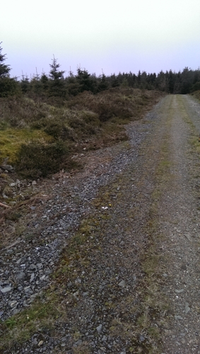
I parked at point B which offers a long distance view towards Dublin Bay. As I was putting on my boots an SUV arrived with two men in camouflage. The guys picked up an unassuming overturned "no entry" sign from the ground and commented on how it must have fallen away, before putting it back up. Seemingly oblivious to my presence or objective, I of course made enquiries about access to the forest track and it seems that deer stalking licences cover the forest of this Hill and the Ballinascorney forest that extends north from Seahan.

The men warned that if a (very plain) sign has been placed on the forest barrier that stalking is taking place! I told the guys of my objective and they suggested my route along the forest road in my bright red jacket should be fine. I was wary but headed off on the short jaunt.

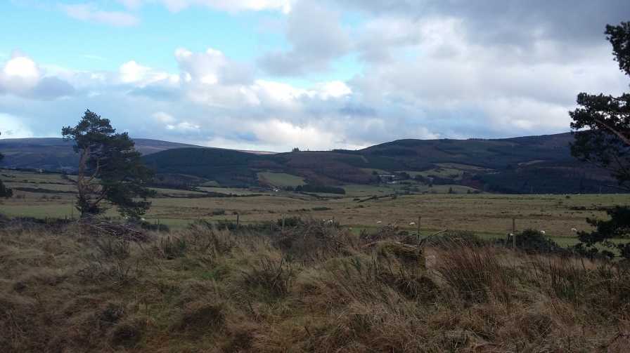
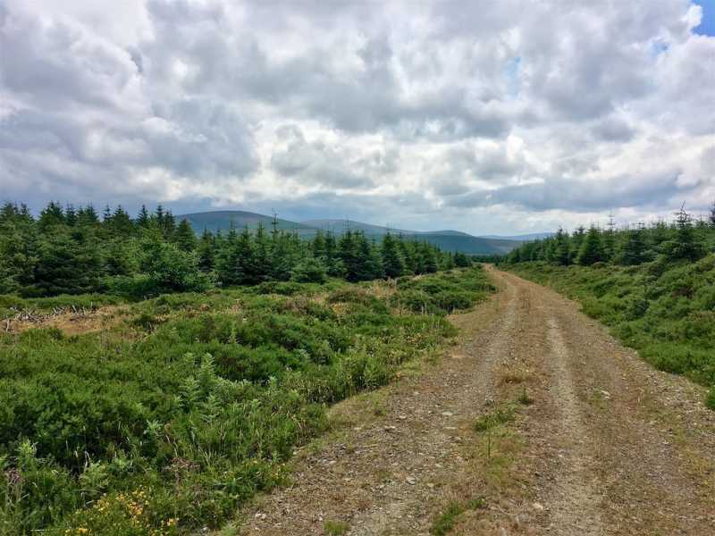
A view towards Seahan and the lower hills falling away from its northside quickly comes into view as no forestry blocks the view to the left (south) from most of the track. I was then startled by 4 deer running from left to right across the track into the dense forestry to my right.

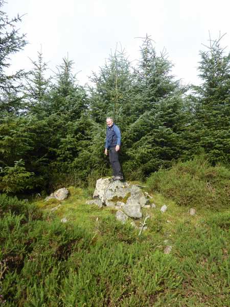
I continued on and reached the non-description summit area, without any real ascent, heading back the same way.

On my return, whilst taking in the views nearby with the map in hand at the edge of the field beyond the car park, a van came out of the forest track I had used, the occupants having keys to unlock the gate and, notably, removing the sign.

I presume these licensees can't shoot walkers but be carefully nonetheless! The warning signs could be much starker! Linkback: mountainviews.ie/summit/1064/comment/18835/
Read Less
Read More

            MountainViews.ie picture about Knockannavea
Picture: Summit Area
Coillte Tree Felling
by sandman 20 Apr 2016
Not much of a walk if you park at VanLn (O06432 23039) room for one vehicle and walk in thru forest access keeping left and left again which will take you to a non-descript summit area as shown on the map. Linkback: mountainviews.ie/summit/1064/comment/16050/
Read Less
Read More

            MountainViews.ie picture about Knockannavea
Picture: The view south from the summit area.
Nice views to be had
by csd 18 Jul 2018
While not very challenging, recent felling means the views along the way and from the summit are pleasant enough. A nice spot for a lunchtime walk. Linkback: mountainviews.ie/summit/1064/comment/19978/
Read Less
Read More
EDIT Point of Interest
text
Videos


Users Online
Muscles1960, Daingean, Fergalh, CaminoPat, ToughSoles, jimmel567
Guests online: 273
Recent Contributions
x
Conditions and Info
Use of MountainViews is governed by conditions and a privacy policy.
Read general information about the site.
Opinions in material here are not necessarily endorsed by MountainViews.
Hillwalking is a risk sport. Information in comments, walks, shared GPS tracks or about starting places may not be accurate for example as regards safety or access permission. You are responsible for your safety and your permission to walk.
See the credits and list definitions.

OSi logo
OSNI/LPS logo
Open Street Map
(Various variations used.)
British summit data courtesy:
Database of British & Irish Hills