If you want to use the website often please enrol (quick and free) at top right.

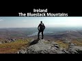
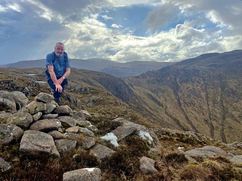
Croaghgorm 674m, Ardnageer 642m, Croaghbane 641m, Ardnageer SW Top 626m, Croaghgorm South-West Top 597m, Croaghgorm East Top 594m, Glascarns Hill 578.3m, Croaghnageer 569.1m, Croaghanirwore 546.1m, Croaghnageer East Top 543.5m,


 Get Notifications
Saggart Hill: Masts and prehistoric tombs
 hibby
hibby
Cupidstown Hill: 5 minutes walk to the top of Kildare
 hibby
hibby
Crott Mountain, near Croagh Patrick, now demo
 simon3
Tievummera, Sheefrys change. Needs action.
 simon3
Tievummera Highpoint: Undistinguished highpoint of spectacular Sheefry scarp.
 Collaborative entry
Tievummera Trig: Bump with trig pillar on long scarp with steep slope to the nor
 Collaborative entry
Teevenacroaghy: Misty Achill.
 simon3
A visit to Tievummera via its South East spur.
 simon3
Ben Creggan: Craggy summit with long descending spur to the east.
 Collaborative entry
Dorinish More: Shapely islands in Clew Bay, Co Mayo.
 simon3
Croagh Patrick's ridge to the east, visited from the south.
Crott Mountain: Quiet Arderin Beg at the east end of the Croagh Patrick ridge.
 Collaborative entry
Use of MountainViews is governed by conditions and a privacy policy.
Read general information about the site.
Opinions in material here are not necessarily endorsed by MountainViews.
Hillwalking is a risk sport. Information in comments, walks, shared GPS tracks or about starting places may not be accurate for example as regards safety or access permission. You are responsible for your safety and your permission to walk.
See the credits and list definitions.
 Visit our Facebook page.
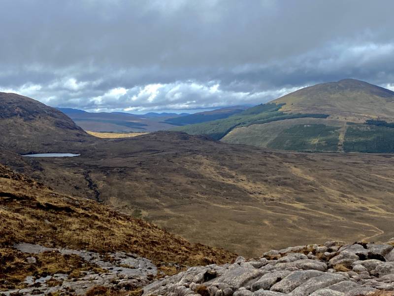
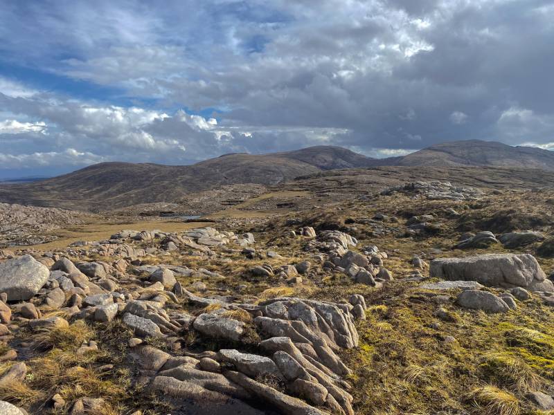
 Length: 17.3km, Creator time taken: 7h 9m, Ascent: 1081m,
Descent: 1081m
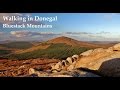
Places: Start at G9722687059, Meenanea, Cronamuck, Cruach an Bhearnais, end at Start
Logged as completed by 1


NOTE: ALL information such as Ascent, Length and Creator time taken etc should be regarded as approximate. The creator's comments are opinions and may not be accurate or still correct.
Your time to complete will depend on your speed plus break time and your mode of transport. For walkers: Naismith's rule, an approximate though often inaccurate estimate, suggests a time of 5h 15m + time stopped for breaks
NOTE: It is up to you to ensure that your route is appropriate for you and your party to follow bearing in mind all factors such as safety, weather conditions, experience and access permission.
* Note: A GPS Height in the elevation profile is sourced from the device that recorded the track. An "SRTM" height is derived from a model of elevations for parts of the earth. More detail![]()
|
|
|
||
| MountainViews.ie, a Hill-walking Website for the island of Ireland. 2400 Summiteers, 1480 Contributors, maintainer of lists: Arderins, Vandeleur-Lynams, Highest Hundred, County Highpoints etc | |||