If you want to use the website often please enrol (quick and free) at top right.

Lugnaquilla 924.7m, Cloghernagh 800m, Corrigasleggaun 794.6m, Slievemaan 759.7m, Camenabologue 758m, Conavalla 734m, Table Mountain 701.7m, Camaderry Mountain 698.6m, Benleagh 689m, Tomaneena 682.4m,

 Get Notifications
Knocknagullion: Relatively challenging climb with great views.
 Collaborative entry
Tough enough Carn with very fine views
 Colin Murphy
Nowen Hill Far West Top: Previous access issue to this simple stroll seems to ha
 Colin Murphy
Good tracks to two Carns.
 Colin Murphy
Crott Mountain, near Croagh Patrick, now demo
 simon3
Minaun: Towards Keem
 magnumpig
Saggart Hill: Masts and prehistoric tombs
 hibby
hibby
A visit to Tievummera via its South East spur.
 simon3
Cupidstown Hill: 5 minutes walk to the top of Kildare
 hibby
hibby
Croagh Patrick's ridge to the east, visited from the south.
Tievummera Highpoint: Undistinguished highpoint of spectacular Sheefry scarp.
 Collaborative entry
Tievummera Trig: Bump with trig pillar on long scarp with steep slope to the nor
 Collaborative entry
Use of MountainViews is governed by conditions and a privacy policy.
Read general information about the site.
Opinions in material here are not necessarily endorsed by MountainViews.
Hillwalking is a risk sport. Information in comments, walks, shared GPS tracks or about starting places may not be accurate for example as regards safety or access permission. You are responsible for your safety and your permission to walk.
See the credits and list definitions.
 Visit our Facebook page.
 Length: 35.1km, Creator time taken: 7h12m, Ascent: 1449m,
Descent: 1445m
Places: Start at T1067090857, Corrigasleggaun, Lugnaquilla, Camenabologue, Lugduff, Lugduff SE Top, Mullacor, Cullentragh Mountain, Carriglineen Mountain, end at Start
Logged as completed by 1

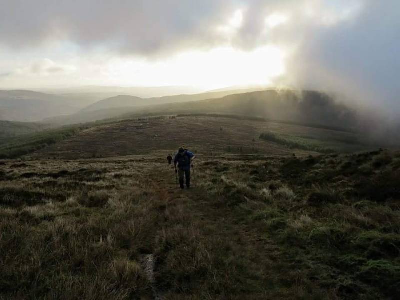
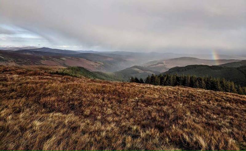
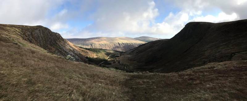
This was the longer (challenge) option on our second club walk with Na Sléibhte Hillwalking Club. As it’s a club with ‘A+’ walks only, we offer our members two or three different routes with the same start/finish on the looped walks. There were at least five different routes taken on Saturday, each to suit whatever the walker wanted to do.
We were on the Galty’s in October and the Mourne’s are up next in December. We decided to keep our walking to the Eastern side of the Country up until February and the first of our linear walks will take place in April.
There were 13 on our first walk and 17 on the second. We’re ready to walk at 07:00 and the early start appears to be working well. Start early, finish early - if you’ve a long drive home. The members appear to be aspiring insomniacs - it’s either that or the excitement or adrenaline are rousing them out of the leaba so early.
We start together, as we would do normally on a challenge, but everyone gets into their normal pace so the group stretches out as the day goes on. There’s great comfort in knowing that the members can navigate and, basically, do what they like when they’re out for the day.
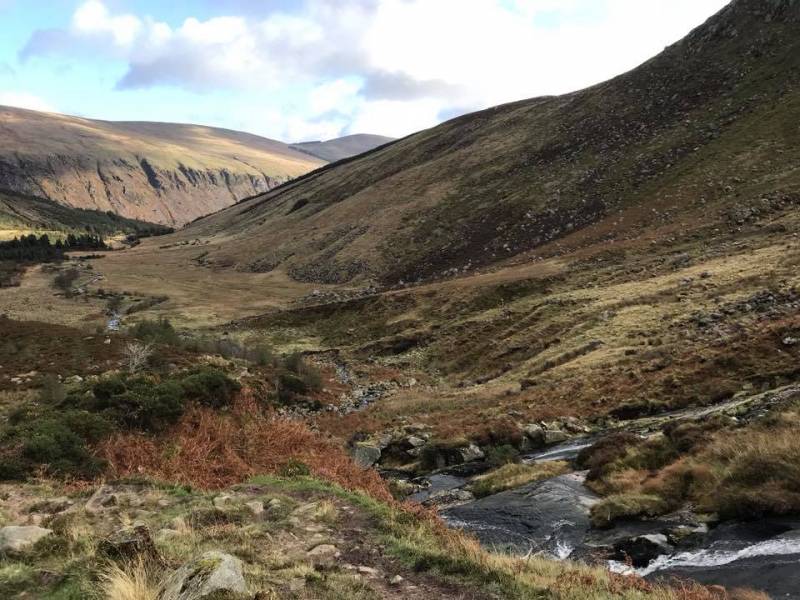
The feedback has been positive. For example, there were about five members that hadn’t been to the Wicklow Mountains before. In addition, the routes we plan take walkers to glens and mountains that they wouldn’t have visited on challenges.
We have a club forum in the form of a Google+ account where walks/GPX files, ideas, advice and information are shared and that’s working well. In fact, it’s all moving along pretty nicely at the moment so we’re happy about that.
Na Sléibhte Hillwalking Club.
Photo credits to Marzena and Ulla.
NB: If you're doing this route, find a different way off Carriglineen, unless you like stomping through furze. The 'normal' track isn't very visible this time of the year with the bracken.
NOTE: ALL information such as Ascent, Length and Creator time taken etc should be regarded as approximate. The creator's comments are opinions and may not be accurate or still correct.
Your time to complete will depend on your speed plus break time and your mode of transport. For walkers: Naismith's rule, an approximate though often inaccurate estimate, suggests a time of 9h 26m + time stopped for breaks
NOTE: It is up to you to ensure that your route is appropriate for you and your party to follow bearing in mind all factors such as safety, weather conditions, experience and access permission.
* Note: A GPS Height in the elevation profile is sourced from the device that recorded the track. An "SRTM" height is derived from a model of elevations for parts of the earth. More detail![]()
|
|
|
||
| MountainViews.ie, a Hill-walking Website for the island of Ireland. 2400 Summiteers, 1480 Contributors, maintainer of lists: Arderins, Vandeleur-Lynams, Highest Hundred, County Highpoints etc | |||