You do not have to be logged in to donate.
If you want to use the website often please enrol (quick and free) at top right.
 Length: 39.1km, Creator time taken: 9h17m, Ascent: 1225m,
Descent: 1532m
Places: Start at W1115873098, Lackabaun, Com an tSagairt, Caoinkeen, Knockboy North Top, Knockboy, The Priest\'s Leap, Barraboy Mountain Far East Top, Barraboy Mountain, end at V9199756945 25km SW from Start
Logged as completed by 1

The April Na Sléibhte Club walk was deferred so as not to clash with the Knockmealdown Crossing and Maamturks Challenge. The third Saturday in April turned out to be a smashing day. Brilliant sunshine but with a nice cool breeze.
Firstly, the start of this walk could be improved. Sometimes taking a direct line isn’t a great idea. So to avoid the very wet ground, multiple gates and many fences I’d suggest following the main track that goes out to the West and then turns back in. If you're doing a linear, ring the pub before hand and ask if you can leave a car or two outside. There's no issue but just out of courtesy.
The Country Boundary line has a fence for 80%/85% of this route, and where it’s missing it’s pretty featureless. We didn’t summit Bealick as we just wanted to have a look down on Guagán Barra. Ulsterpooka was on a bagging mission so his 3763 track is slightly different. No need to go South of Coomroe either, I just wanted to have a peek down the glen.
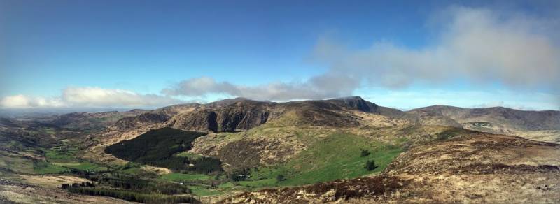
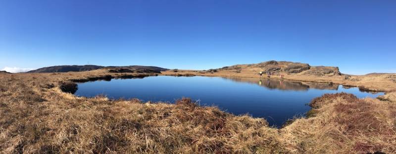
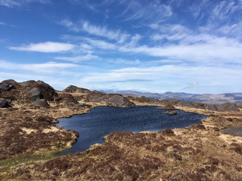
Lakes galore along the route but no real flow out of them. This isn’t easy walking. There are no real visible tracks and the rough wet ground will sap the energy from you. Last time I was here, in 2014, I had very little visibility so it was good to see the surrounding area from Knockboy.
The name ‘Priests Leap’ got the better of my curiosity so I had to look it up when I got home. It’s the highest pass road in Munster, at 463m. The place name comes from an old local legend and the full details are on Wikipedia.
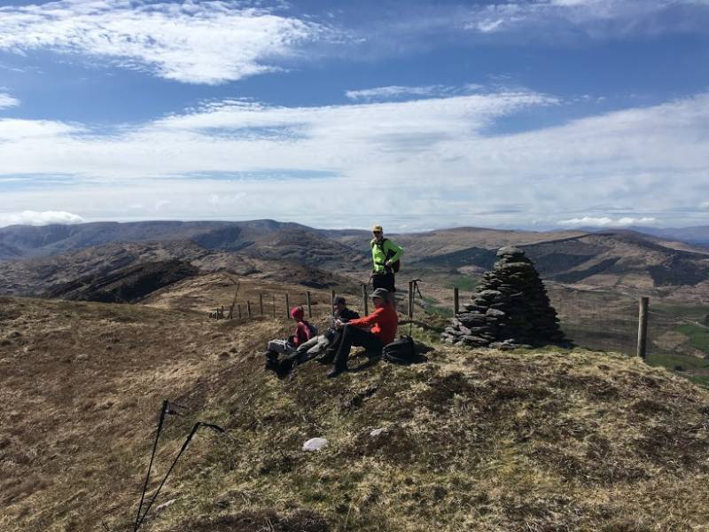
Nine and a half hours on the mountain, on a beautiful day, and we met no one. It’s not walked that much and I don’t know why.
NOTE: ALL information such as Ascent, Length and Creator time taken etc should be regarded as approximate. The creator's comments are opinions and may not be accurate or still correct.
Your time to complete will depend on your speed plus break time and your mode of transport. For walkers: Naismith's rule, an approximate though often inaccurate estimate, suggests a time of 9h 52m + time stopped for breaks
NOTE: It is up to you to ensure that your route is appropriate for you and your party to follow bearing in mind all factors such as safety, weather conditions, experience and access permission.
* Note: A GPS Height in the elevation profile is sourced from the device that recorded the track. An "SRTM" height is derived from a model of elevations for parts of the earth. More detail![]()
|
|
|
||
| MountainViews.ie, a Hill-walking Website for the island of Ireland. 2400 Summiteers, 1480 Contributors, maintainer of lists: Arderins, Vandeleur-Lynams, Highest Hundred, County Highpoints etc | |||