Sperrins Challenge Walk

Mid-Ulster Walking Club
Sperrin's Challenge Walk
BACK TO CHALLENGE WALK CALENDAR
DETAILS FROM 2011
 Organised by the
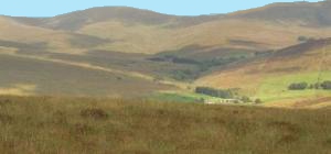
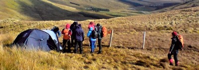
The route is approximately 32.78K (20.37 miles) and will begin at Drumnaspar Amenity Carpark (IH522 914) on the Glenelly Road (near Plumbridge, Co. Tyrone) and will finish at 'The Rural College', the Event Centre (IH764 958) near Draperstown. The route will take in thirteen of the Sperrins highest tops in the following order. . .
Mullaghcarbatagh (517m), Mullaghclogher (572m), Mullaghasturakeen (581m), Mullaghclogha (635m), Mullaghdoo (568m) Dart (619m), Sawel (678m), Meenard (626m), Mullaghneany (627m) Oughtmore (569m), Spelhoagh (568m), Crockbrack (526m) & Crockmore (478m)
. The Total Ascent is 1684m (5,525ft) - Total Descent is 1703m (5,588ft) with total time taken to complete the Challenge (average walker) expected to be approximately 10-11hours.